 |
| Radar image of 15:45 CET showing some showers with ppn
tops up to 8km. (Source: Belgocontrol).
|

|
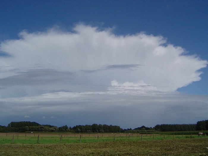
| 15:46 ENE. Beautifull Cb cap inc with some thunder
activity. This one is showed on the radar just right of "BR"
|

|
|
Infra-red satellite picture of 19:47 CET showing a white Cb trail over mid
Belgium. This "mother Cb" caused some nice mammatus features
under its anvil.
(Source: NOAA & University of Bern)
|
 |
|
20:03 E. Below "the mother Cb" some smaller Cb calvus praecipitatio
developed.
|
 |
|
20:17 ENE. On the western horizon a "towering Cumulus" caused
some nice shadow effects.
|
 |
|
20:26 N. This Cb calvus caused even a rumble of thunder.
|
 |
|
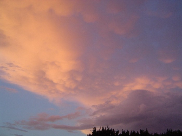
20:33 ENE. The "mother Cb" produced some mammatus features
under its anvil.
|
 |
| 20:35 ENE. For 5 minutes sunlit mamma clouds.
|
 |
| 20:51 NNW. Towards sunset more sunlit mammatus became
visible.
|
 |
| 20:53 NNW.
|
 |
| 20:55 NNW. Not seen the pouches so beautiful for
years.
|