| Weather pictures & report of March 25 2008 |
| Showers of snow. |
| Synopsis: at 500 hPa an Omega pattern with a ridge over the Atlantic and a sharp upper trough over Scandinavia. At surface over Danmark a low of 983 hPa and SW of Eire a weak ridge of 1016 hPa. Thus, in between, Belgium at all levels in a NW'ly airflow of unstable air in which temperature at 850 hPa was -8°C and at 500 hPa -30°C. Thickness 1000-850 hPa = 128,5 dam, thickness 1000-500 hPa = 519 dam. Postfrontal, during a period of 24 hours, wintry showers were advected into the Low Countries. During the night they remained quite active due to a strong jetstream of 120 kt overhead. Sometimes even a "street of showers" was formed giving in Flanders locally a cover of up to 10 cm, in my area 4 cm was measured. All pics taken at Kampenhout in local time (CET). |
Radar sequence between 0750-1110 CET. My location was near "BR". During the forenoon several snow showers were still advected over central and northern parts of Belgium (Source radar picture: Belgocontrol)
|
|
|
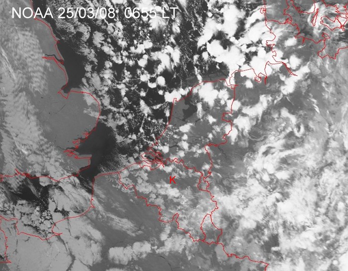
Satellite picture (infra red) of 25/03/2008 at 0655 LT. The white "spots" are wintry showers moving SE-wards. My location at red "K". (Source satpicture: NOAA and University of Bern)
|
|
|
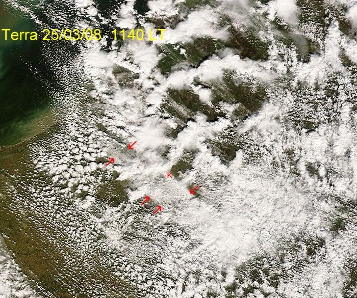
Satellite picture (visual) of 25/03/2008 at 1140 LT. The NW-SE orientated white band (between the red arrows) was a cover of snow which was formed during the previous night after the passage of a street of wintry showers. Just inside this area, my location at red "K". (Source: Image courtesy of MODIS Rapid Response Project at NASA/GSFC)
|
Loop of some webcam images between 0925-1455 showing the passage of some snow showers and the melting process.
|
 |
|
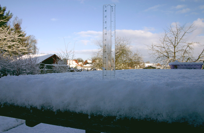
25/03/2008 0810. Proof of a cover of 4 cm snow.
|
 |
|
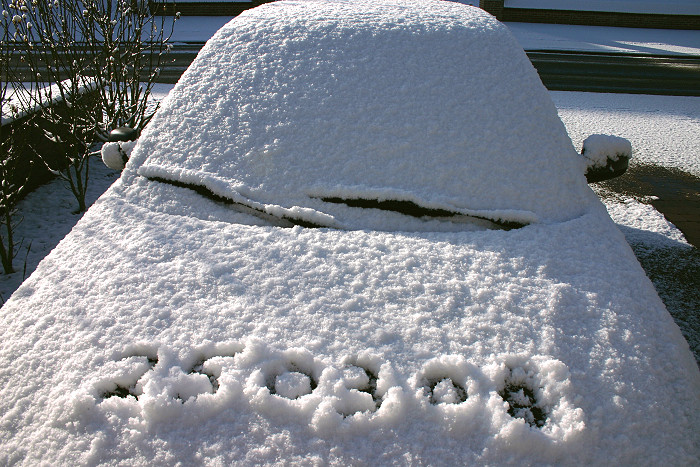
25/03/2008 0817. Proof of the date, it was the only snow after a winter
season without a trace of it in most parts of Flanders.
|
 |
|
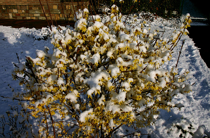
25/03/2008 0818. Blossoms of the Forsythia were surprised by this late snow.
|
 |
|
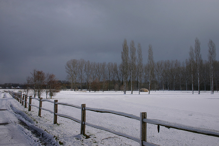
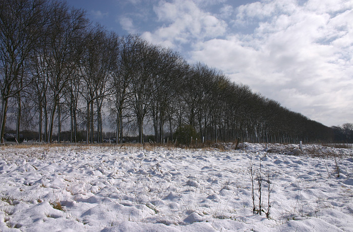
25/03/2008 0831 N. Some classic shots.
|
 |
|
25/03/2008 0832 ENE.
|
 |
|
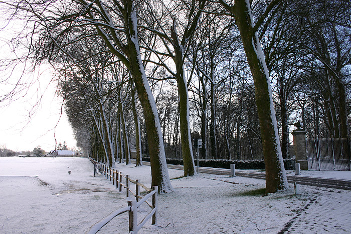
25/03/2008 0833 NE.
|
 |
|
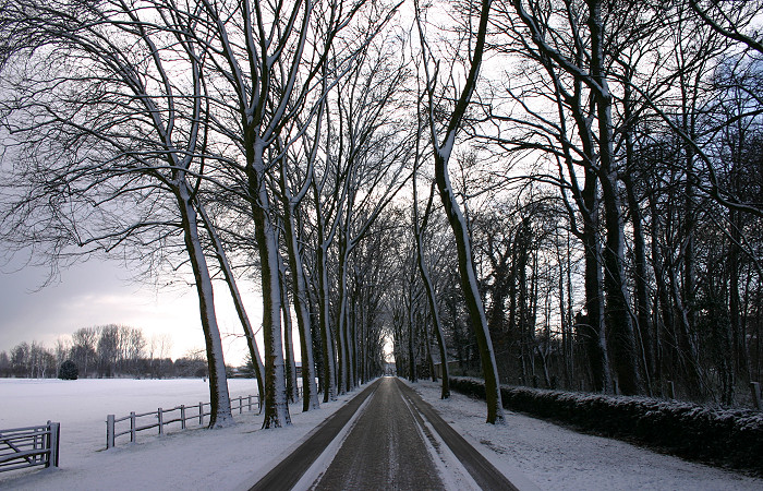
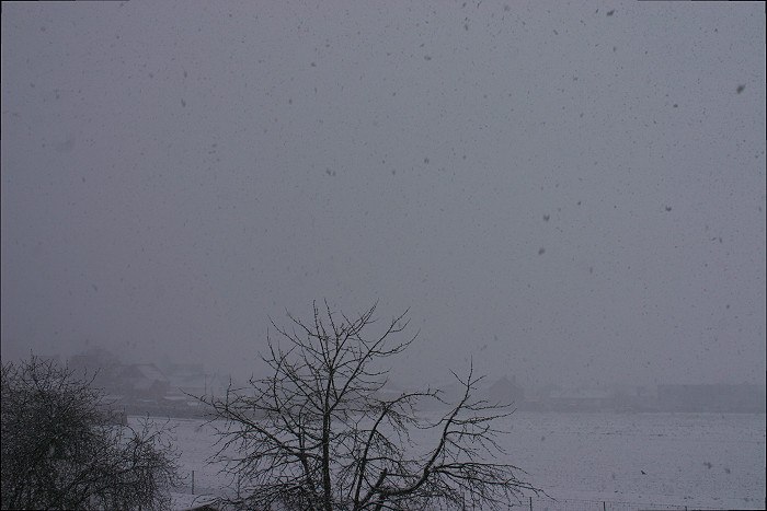
25/03/2008 0910 NW. Another snow shower came in, visibility was reduced to
around 1 km.
|
 |
|
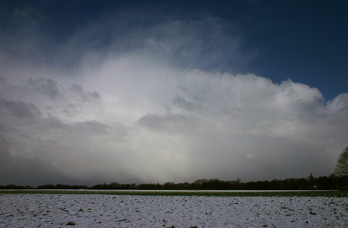
25/03/2008 1023 NE. The sun came out after this shower.
|
 |
|
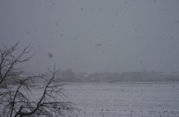
25/03/2008 1035 NW. But hey, there is another one on its way.
|
 |
|
25/03/2008 1047 NNW. The result.
|
 |
|
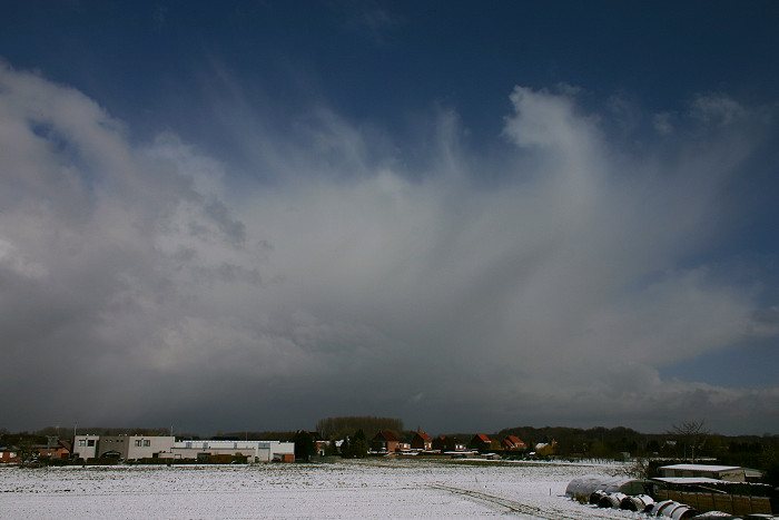
25/03/2008 1114 N. After this shower, the bulk of it moved a bit
more to the NE giving a nice view on these Cb's.
|