| Weather pictures & report of February 8 2007 |
| Snow related to occlusion. |
| Synopsis: prefrontal, there was advection of cold air from SE. A frontal system with milder air behind was pushing northwards. In morning and forenoon, precipitation consisted for a couple of hours of light to moderate falls of snow, covering entire Belgium giving 3 to 7 cm, over my area around 5 cm. All pics taken at Kampenhout in local time (CET). |
Radar sequence between 0650-0840 CET. My location was near "BR". The frontal system with a large precipitation belt passing overhead. (Source radar picture: Belgocontrol)
|
|
|
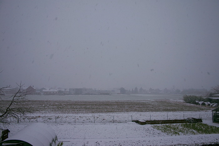
08/02/2007 0844 N. After 45 minutes, the light snow resulted in this white landscape.
|
 |
|
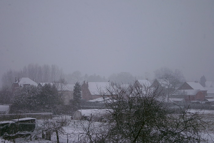
08/02/2007 0846 WNW.
|
|
|
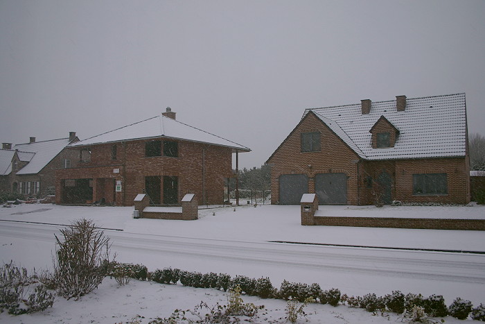
08/02/2007 0846 WNW. Even streets were covered by snow, was long time ago when I saw this happen.
|
 |
|
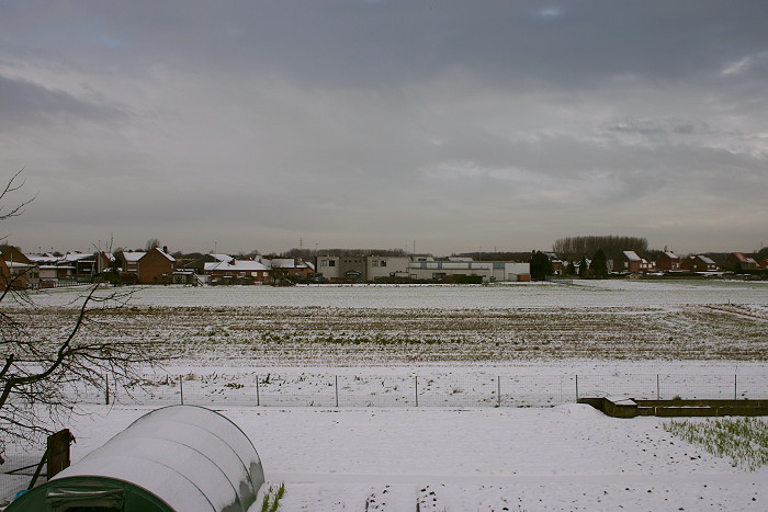
08/02/2007 1316 N. When this shot was made, the snow has stopped two hours earlier.
Gradually cloudiness began to break and the melting process was soon on its way, by the
evening nothing was left.
|
| 08/02/2007 0750-1520. Chronicle of an announced death: the appearance and disappearance of snow(cover) in a time lapse of some webcam images taken each five minutes. |