| Weather pictures & report of February 27 2005 |
| Slight snow showers. |
| Synopsis: advection of unstable polar continental air from the NE. T 850 hPa was -16°C, T 500 hPa was -36°C. From noon on (mostly) slight snow showers were formed, quickly disappearing in afternoon. Photos taken at Kampenhout in Central European Time (CET). |
|
|
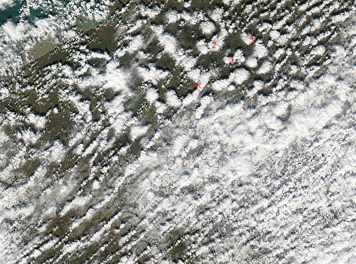
Picture of satellite Aqua at 1340 CET showing a lot of small snow showers. My position was at K. Just NNE is a line of showers which I photographed around 1350 hrs. Shower 2 was the panorama cloud picture at 1417 hrs and its later evolution at 1453-1458 hrs, number 3 was picture at 1423 hrs, number 4 was picture at 1446 hrs. (Source: Image courtesy of MODIS Rapid Response Project at NASA/GSFC)
|
 |
|
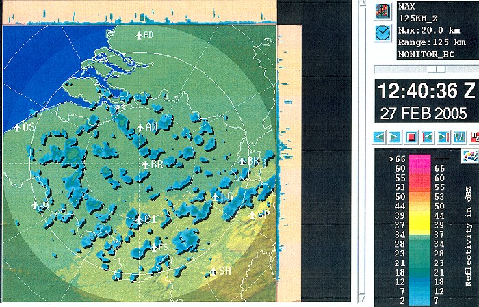
Corresponding radar picture of 1340 CET. Precipitation tops went up little over 2 km. (Source: Belgocontrol)
|
 |
|
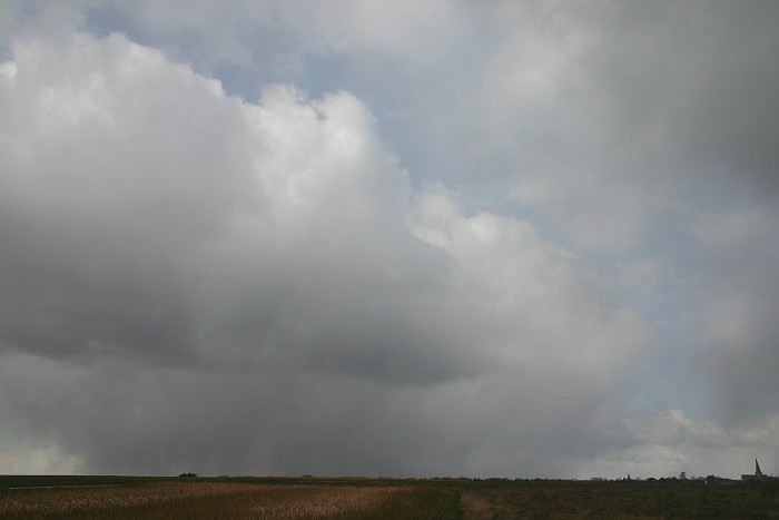
13:50 N. Line with slight snow showers is passing the area.
|
 |
|
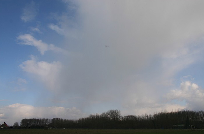
14:00 SE. Opposite direction: an aircraft enters the "snow shaft".
|
 |
|
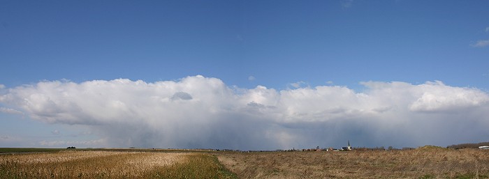
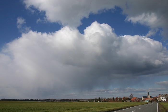
14:17 N. Panorama composed of two pictures showing the relative flat
tops and "virga" beneath.
|
 |
|
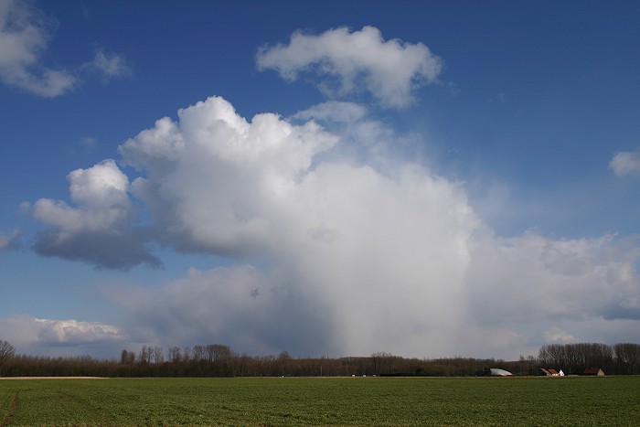
14:23 ESE. Cumulus congestus praecipitatio with a blast of snowflakes ahead.
|
 |
|
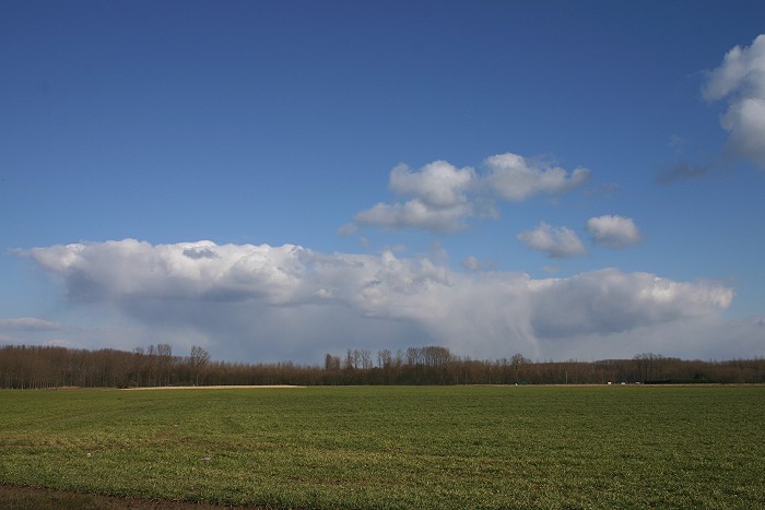
14:46 E. Virga under another "flat Cumulus".
|
 |
|
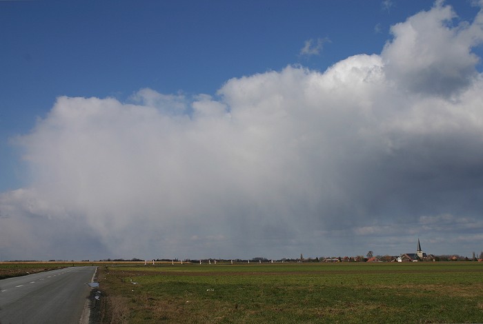
14:53 N. The shower of the panorama picture came closer. Polar weather conditions with slightly negative temperatures and strong NE'lies.
|
 |
|
14:58 NNW. This was in fact the last one passing by. No wintry cover was ever formed.
|
Back to winter weather reports