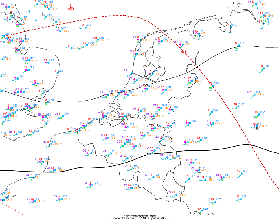
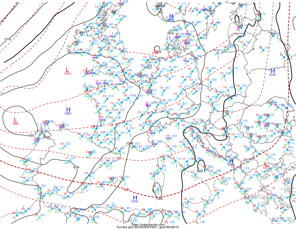
Legend.
temperature (°C), dewpoint
(°C), mean sea level pressure (hPa), circle=amount of cloud in
okta,
arrow=wind direction and speed (kt), pressure tendency of last 3
hours (hpa), present weather code, wind gust in knots,
symbols=cloud type, black lines=surface isobar each 4 hPa, red
dashed lines=geopotential height at 500 hPa each 6 dam, H=center of high,
L=center
of low.
amount of cloud in okta

pressure tendency of last 3
hours (hpa)
The two-digit figure is amount of change of pressure, expressed as
tenths of hPa:
+8 = 0,8 hPa change in pressure over previous 3 hours (rising)
-9 = 0,9 hPa change in pressure over previous 3 hours
(dropping)
+71 = 7,1 hPa change in pressure over previous 3 hours (rising)
-82 = 8,2 hPa change in pressure over previous 3 hours (dropping)

present weather code

0 Cloud development not observed or not observable during past hour
(not plotted)
1 Clouds generally dissolving or becoming less developed during past hour
(not plotted)
2 State of sky on the whole unchanged during past hour (not plotted)
3 Clouds generally forming or developing during past hour (not plotted).
4 Smoke reducing visibility
5 Haze
6 Widespread dust in suspension in the air, not raised by wind at or near
the station at the time of observation
7 Dust or sand raised by the wind at or near the station at the time of
the observation, but no well-developed dust whirl(s), and no sandstorm
seen: or, in the case of ships, blowing spray at the station
8 Well developed dust whirl(s) or sand whirl(s) seen at or near the
station during the preceding hour or at the time of observation, but no
duststorm or sandstorm
9 Duststorm or sandstorm within sight at the time of observation, or at
the station during the preceding hour
10 Mist
11 Patches of shallow fog at station, not deeper than 2 meter (6 feet) on land
12 More or less continuous shallow fog at station, not deeper than 2 meter
(6 feet)
on land
13 Lighting visible, no thunder heard
14 Precipitation within sight, but not reaching the ground
15 Precipitation within sight, reaching ground or the surface of the sea,
but distant, i.e. estimated to be more than 5 km (3 miles) from the station
16 Precipitation within sight, reaching the ground or the surface of the
sea, near to (within 5 km or 3 miles), but not at the station
17 Thunder heard, but no precipitation at the station
18 Squall(s) within sight during past hour
19 Funnel cloud(s) / Tornado(s) during the preceding hour or at time of
observation
20 Drizzle (not freezing) or snow grains not falling as shower(s) ended in
the past hour
21 Rain (not freezing) not falling as shower(s) ended in the past hour
22 Snow not falling as shower(s) ended in the past hour
23 Rain and snow or ice pellets not falling as shower(s) ended in the past
hour
24 Freezing drizzle or freezing rain not falling as shower(s) ended in the
past hour
25 Shower(s) of rain ended in the past hour
26 Shower(s) of snow, or of rain and snow ended in the past hour
27 Shower(s) of hail, or of rain and hail ended in the past hour
28 Fog or ice fog ended in the past hour
29 Thunderstorm (with or without precipitation) ended in the past hour
30 Slight or moderate duststorm or sandstorm (has
decreased during the preceding hour)
31 Slight or moderate duststorm or sandstorm (no appreciable change during
the preceding hour)
32 Slight or moderate duststorm or sandstorm (has begun or increased
during the preceding hour)
33 Severe duststorm or sandstorm has decreased during the preceding hour
34 Severe duststorm or sandstorm has no appreciable change during the
preceding hour
35 Severe duststorm or sandstorm has begun or increased during the
preceding hour
36 Slight or moderate drifting snow (generally below eye level)
37 Heavy drifting snow (generally below eye level)
38 Slight or moderate blowing snow (generally above eye level)
39 Heavy drifting snow (generally above eye level)
40 Fog at a distance at the time of observation, but not at the station
during the preceding hour, the fog or ice fog extending to a level above
that of the observer
41 Fog in patches
42 Fog sky visible (has become thinner during preceding hour)
43 Fog sky obscured (has become thinner during preceding hour)
44 Fog sky visible (no appreciable change during the preceding hour)
45 Fog sky obscured (no appreciable change during the preceding hour)
46 Fog sky visible (has begun or has become thicker during the preceding
hour)
47 Fog sky obscured (has begun or has become thicker during the preceding
hour)
48 Fog, depositing rime ice, sky visible
49 Fog, depositing rime ice, or ice fog, sky obscured
50 Drizzle, not freezing, intermittent (slight at time of observation)
51 Drizzle, not freezing, continuous (slight at time of observation)
52 Drizzle, not freezing, intermittent (moderate at time of observation)
53 Drizzle, not freezing, continuous (moderate at time of observation)
54 Drizzle, not freezing, intermittent (heavy at time of observation)
55 Drizzle, not freezing, continuous (heavy at time of observation)
56 Drizzle, freezing, slight
57 Drizzle, freezing, moderate or heavy
58 Drizzle and rain, slight
59 Drizzle and rain, moderate or heavy
60 Rain, not freezing, intermittent (slight at time of observation)
61 Rain, not freezing, continuous (slight at time of observation)
62 Rain, not freezing, intermittent (moderate at time of observation)
63 Rain, not freezing, continuous (moderate at time of observation)
64 Rain, not freezing, intermittent (heavy at time of observation)
65 Rain, not freezing, continuous (heavy at time of observation)
66 Rain, freezing, slight
67 Rain, freezing, moderate or heavy
68 Rain or drizzle and snow, slight
69 Rain or drizzle and snow, moderate or heavy
70 Intermittent fall of snowflakes (slight at time of observation)
71 Continuous fall of snowflakes (slight at time of observation)
72 Intermittent fall of snowflakes (moderate at time of observation)
73 Continuous fall of snowflakes (moderate at time of observation)
74 Intermittent fall of snowflakes (heavy at time of observation)
75 Continuous fall of snowflakes (heavy at time of observation)
76 Ice needles (with or without fog)
77 Snow grains (with or without fog)
78 Isolated star-like snow crystals (with or without fog)
79 Ice pellets (sleet)
80 Rain shower(s), slight
81 Rain shower(s), moderate or heavy
82 Rain shower(s), violent
83 Shower(s) of rain and snow mixed, slight
84 Shower(s) of rain and snow mixed, moderate or heavy
85 Snow shower(s), slight
86 Snow shower(s), moderate or heavy
87 Shower(s) of snow pellets or small hail, slight with or without rain or
rain and snow mixed
88 Shower(s) of snow pellets or small hail, moderate or heavy with or
without rain or rain and snow mixed
89 Shower(s) of hail, with or without rain or rain and snow mixed, not
associated with thunder, slight
90 Shower(s) of hail, with or without rain or rain and snow mixed, not
associated with thunder, moderate or heavy
91 Thunderstorm during the preceding hour but not at time of observation
with slight rain at time of observation
92 Thunderstorm during the preceding hour but not at time of observation
with moderate or heavy rain at time of observation
93 Thunderstorm during the preceding hour but not at time of observation
with slight snow, or rain and snow mixed, or hail at time of observation
94 Thunderstorm during the preceding hour but not at time of observation
with moderate or heavy snow, or rain and snow mixed, or hail at time of
observation
95 Thunderstorm, slight or moderate, without hail but with rain and or
snow at time of observation
96 Thunderstorm, slight or moderate, with hail at time of observation
97 Thunderstorm, heavy, without hail but with rain and or snow at time of
observation
98 Thunderstorm combined with duststorm or sandstorm at time of
observation
99 Thunderstorm, heavy, with hail at time of observation
Back symbols = cloud type

(Source legend: WMO Manual)
|


