| Weather pictures & report of December 19 2010 |
| Snow related to depression (wave on polar front) |
| Synopsis: at 500 hPa an almost stationary large cold pool over the Northsea. Overhead in the W'ly flow a wave in the polar front induced formation of a depression which crossed Belgium during the afternoon and evening. It added at my location (center of Belgium) 5 cm fresh snow to the present 6 cm. Pictures of December 19 were taken at Steenokkerzeel (central Belgium), of December 20 five km northeastwards at Kampenhout. Hours in local time (CET). |
 |
|
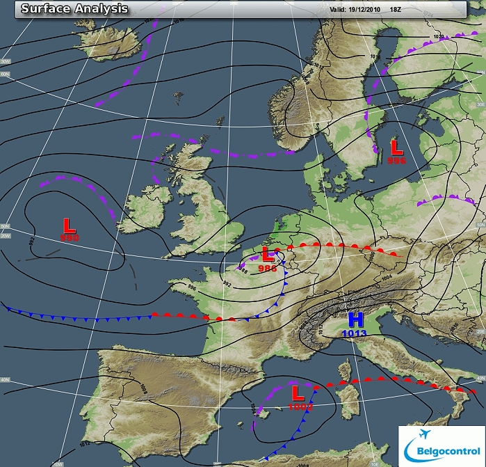
Surface analysis of December 19 2010 at 1900 CET. Depression of which
the centre crossed Belgium during the afternoon and evening. (Source chart: Belgocontrol)
|
|
Loop of 17 surface analyses between December 19 1100 CET and December 20
0300 CET
with the weather plots. Movement of the depression from SW to NE. In the
warm sector over the Ardennes the temperature came temporary above the
freezing point. (Source: meteocentre.com)
|
 |
|
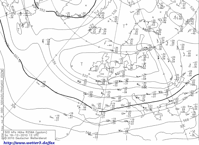
Upper air analysis 500 hPa of December 19 2010 at 1300 CET. In the W'ly
flow a short wave trough with axis over the southern U.K. and western France
holding the depression, all south of a cold pool
over the Northsea with temperatures of -40°C. (Source chart: DWD via wetter3)
|
 |
|
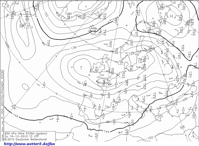
Upper air analysis 850 hPa of December 19 2010 at 1300 CET. In cold air
(-8°C), the depression recognizable over northern France. (Source chart: DWD via wetter3)
|
 |
|
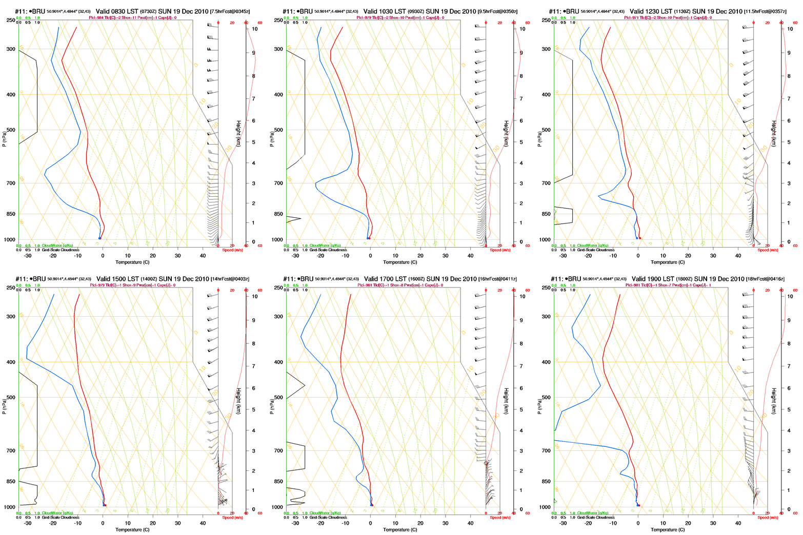
Loop of forecasted soundings for Brussels of December 19 2010 between
0830-1900 CET. Negative
temperatures over the entire layer, from 1400 CET becoming saturated,
backing winds below 2 km height from 1200-1400 CET onwards. (Source: RASP)
|
|
Loop of forecasted soundings for Brussels between December 19 0700 CET
and December 20 0700 CET. Whole period below freezing over the entire
layer and very moist between 1500-2100 UTC. Below 850 hPa wind backed
around the clock, above that altitude all the time a WSW'ly flow, with very strong
wind 300-400 hPa due to the presence of the jetstream core. (Source: weatheronline.co.uk)
|
|
19/12/2010 0830-1500 CET. Satellite loop in the visual channel.
Vortex over northwest France with wrapped around stratiform cloudiness
invading the Low Countries. (Source sat picture: Eumetsat via Belgocontrol)
|
Radar loop (reflectivity in dBZ) between December 19 between 0900-2240 CET. Intensive precipitation belt affecting entire Belgium. (Source radar picture: Belgocontrol).
|
Some metars (hours in UTC) of Brussels Airport (EBBR). Translation: copy paste each obs via
metar-decoder
|
|
Time lapse of webcam images between 1352-1700 CET. Around 4 cm
accumulating on the present 6 cm.
|
|
Time lapse of another webcam between 0930-1700 CET. Above right a
growing stalactite.
|
 |
|
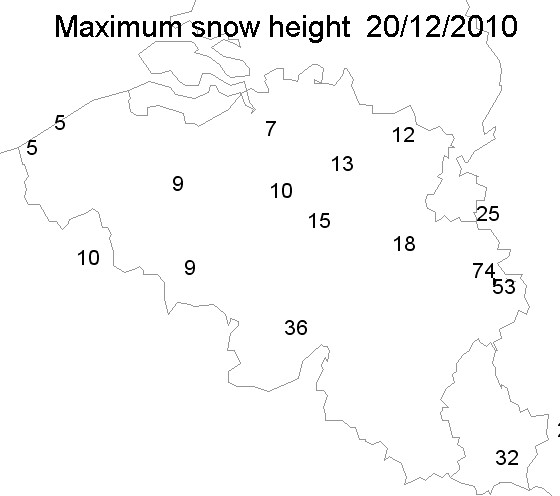
19/12/2010. Highest snow height in cm taken from the synops of 0000 & 0600 UTC.
|
 |
|
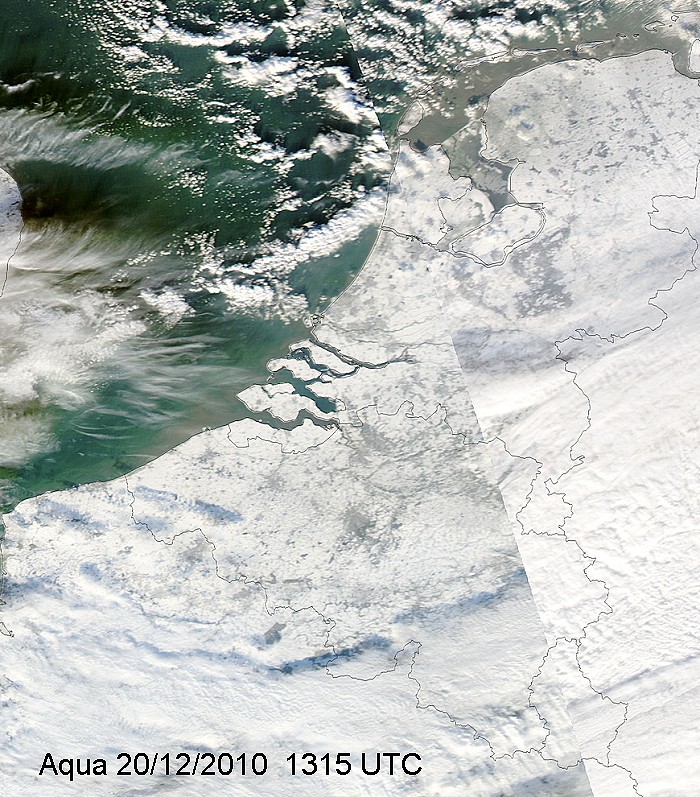
20/12/2010. View over the Low Countries, entirely covered by snow.
|
 |
|
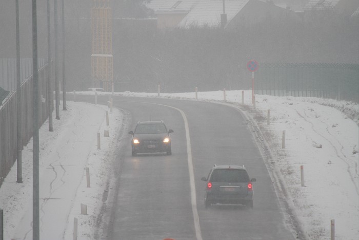
19/12/2010 1319. When the snow began, this posed no problem for the road
traffic.
|
 |
|
19/12/2010 1402. Bit later the snow became more intense.
|
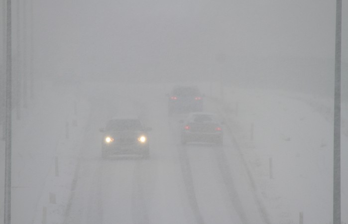 |
|
19/12/2010 1403. Giving more problems to the road traffic.
|
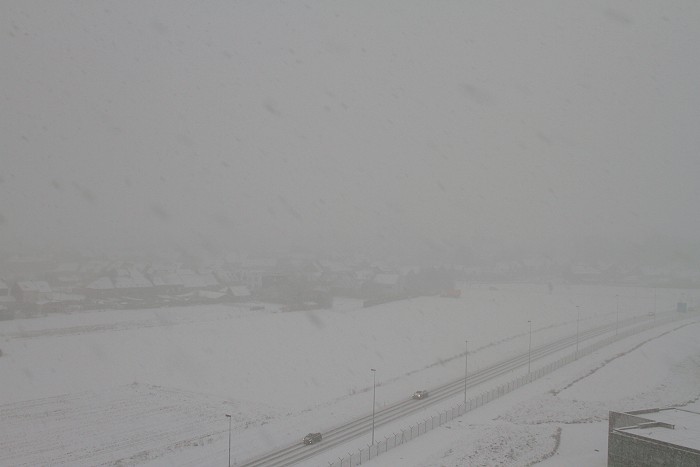 |
|
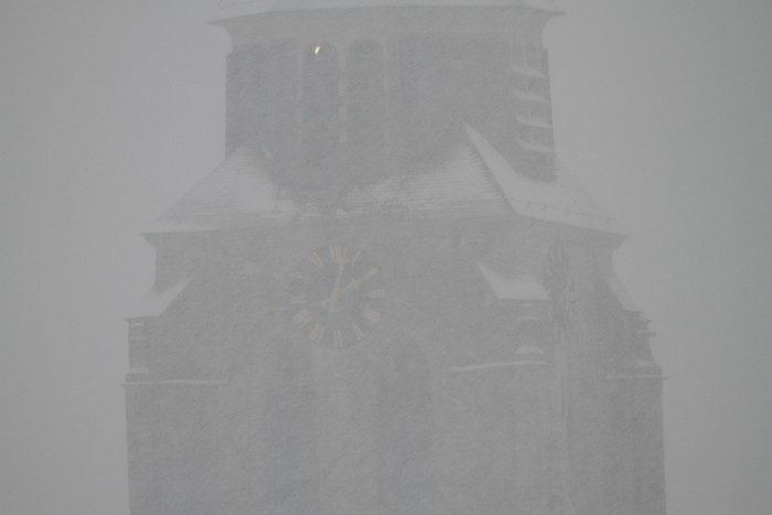
19/12/2010 1415. Village of Humelgem hardly visible from a distance.
|
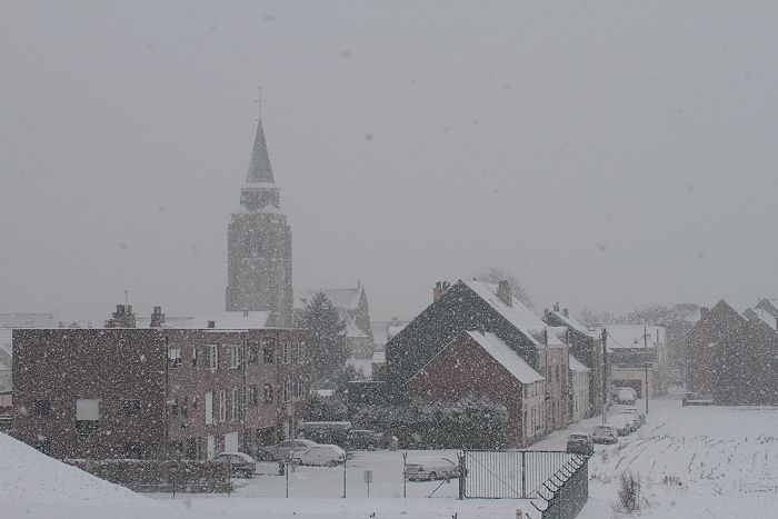 |
|
19/12/2010 1440. Bit later, some larger flakes did fall.
|
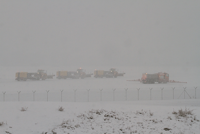 |
|
19/12/2010 1508. Snow team stand-by and ready to attack the runway for
cleaning.
|
 |
|
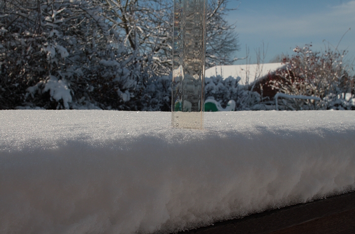
20/12/2010 1301. Next day, proof of 10 cm (collapse of 1 cm compared previous
day).
|
 |
|
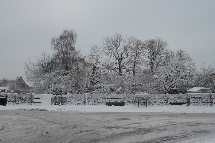
20/12/2010 1030 W.
|
 |
|
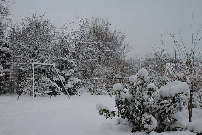
20/12/2010 1037 NW. View into a garden.
|
 |
|
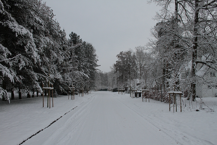
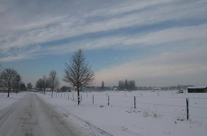
20/12/2010 1124 SE. View into the park.
|
 |
|
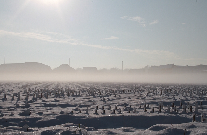
20/12/2010 1135 W. Blue skies on its way.
|
 |
|
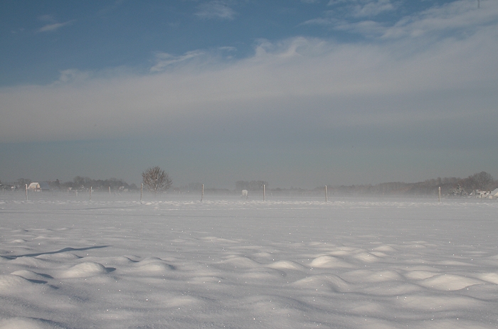
20/12/2010 1213 S. When the sky was cleared of clouds, briefly ground
mist due to the radiation, soon after lifted by the "heating" of the sunrays.
|
 |
|
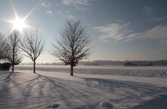
20/12/2010 1214 N. Opposite view.
|
 |
|
20/12/2010 1221 SSW.
|
 |
|
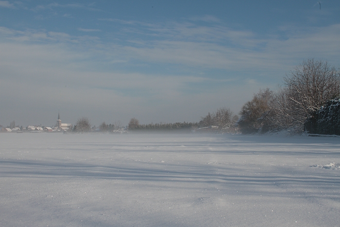
20/12/2010 1229 E. Church of Kampenhout in the distance with lifting
ground mist.
|
 |
|
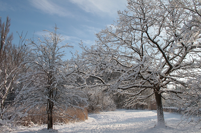
20/12/2010 1242 SE.
|
 |
|
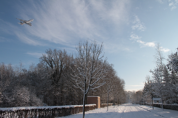
20/12/2010 1245 SE. Approaching aircraft from Singapore for Brussels
Airport.
|
 |
|
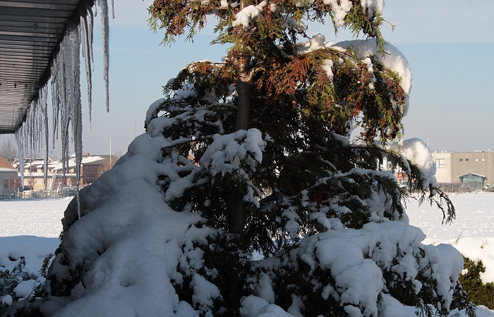
20/12/2010 1311 NW. Stalactites on the roof.
|
 |
|
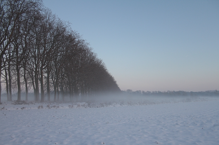
20/12/2010 1614 E. Again formation of fog banks during evening twilight.
|
 |
|
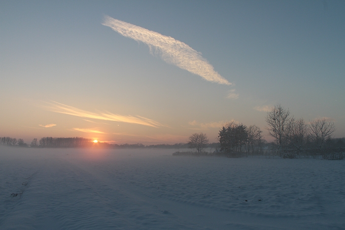
20/12/2010 1615 SW. Fog banks.
|
 |
|
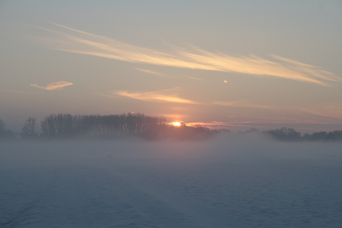
20/12/2010 1616 SW. Fog banks.
|
 |
|
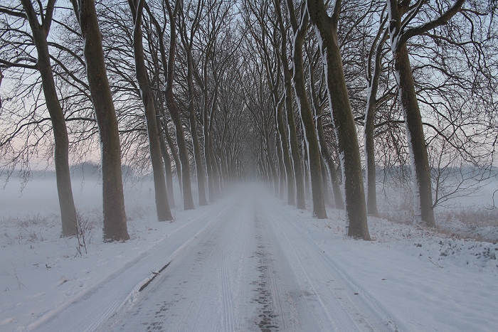
20/12/2010 1617 E. Fog banks.
|
 |
|
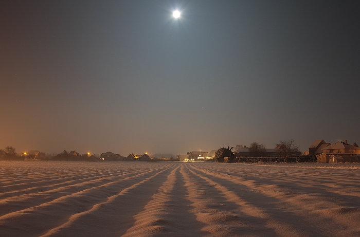
20/12/2010 1908 E. Full Moon.
|
 |
|
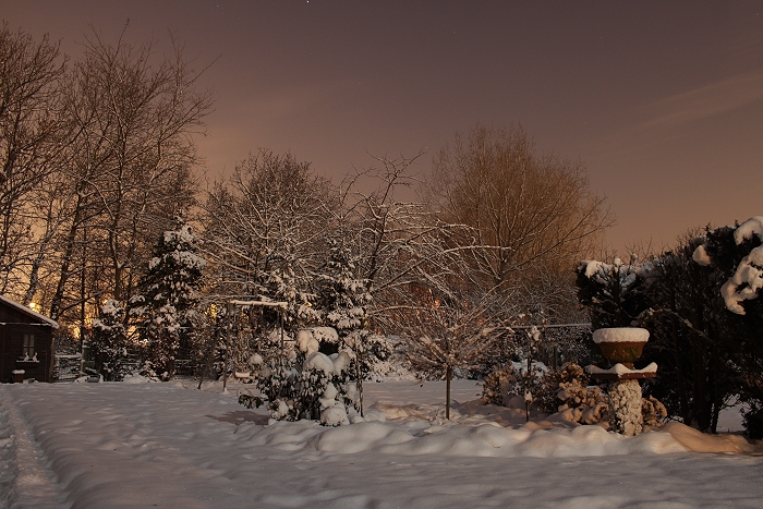
20/12/2010 1916 W. Full Moon shining in a garden.
|
 |
|
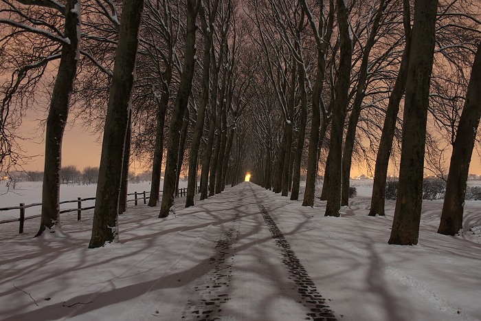
20/12/2010 2220 W. Full Moon shining in the Wilderse Dreef.
|
 |
|
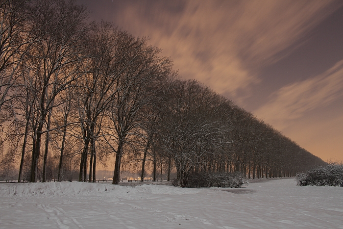
20/12/2010 2230 SW. Cirriform cloudiness in the sky as sign of the
arrival of a warm front giving a bit later another 4 cm on top of the 10
cm. But the next day it made also an end of the second cold wave.
|