| Weather pictures & report of January 3 2010 |
| Snow related to cold occlusion. |
| Synopsis: at 500 hPa, passage of a trough related to a cut-off low centered over the Continent. On the ground a cold occlusion crossed Belgium with behind subzero temperatures at all levels. During the night and morning, this front produced in most parts of Belgium a couple cm of snow and introduced a ten day cold wave. All pictures were taken at Kampenhout (central Belgium), hours in local time (CET). |
 |
|
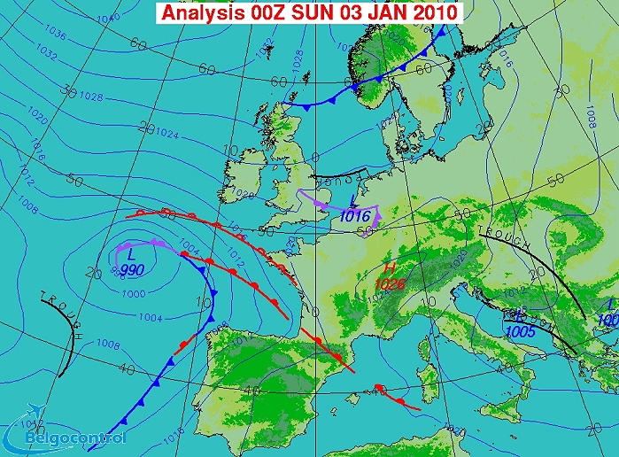
Surface analysis of January 3 2010 at 0100 CET. Cold occlusion along
border Belgian-Holland moving SE-wards. (Source chart: Belgocontrol)
|
|
Loop of 5 surface analyses (of 03, 04, 05, 06 and 07 CET) with weather plots
showing the movement of the small surface low and associated wintry
precipitation belt. (Source: meteocentre.com)
|
 |
|
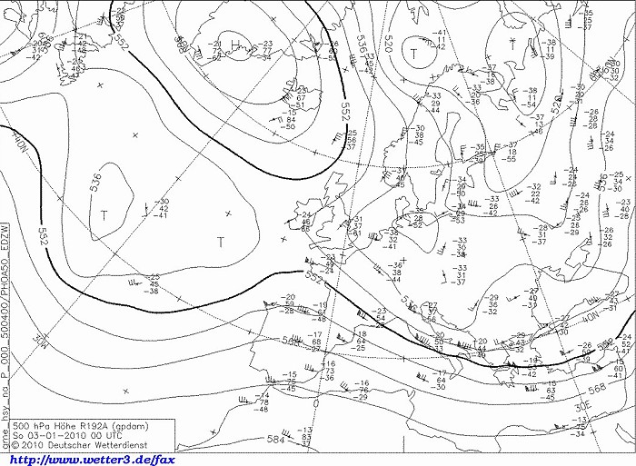
Upper air analysis 500 hPa of January 3 2010 at 0100 CET. Our region
just south of an incoming trough related to the cut-off low centered over
northern Germany. (Source chart: DWD via wetter3)
|
|
Loop of forecasted soundings for Brussels of January 2-3 2010 between
1900-1300 CET. At first the temperature in the bottom layer was slightly
above zero degrees giving also a wet component on the solid
precipitation. Between 0300-0600, at all levels subzero, so the last
precipitations fell as dry snow. Check also the remarkable veering winds
in the levels below 850 hPa. (Source: weatheronline.co.uk)
|
03/01/2010 0200-0615 CET. Satellite loop in the infra-red channel. Layered stratiform cloudiness over Belgium. Later on breaks appear over Holland, reaching Belgium by the morning. (Source sat picture: Eumetsat via Sat24.com)
|
Radar loop (rainfall rate in mm/hr) of January 3 2010 between 0110-0720 CET. A rather scattered (showery) precipitation belt crosses the area. Most precipitation (sometimes moderate intensity) fell over northern, central and eastern parts of Belgium. (Source radar picture: Belgocontrol)
|
Some metars (hours in UTC) of Brussels Airport (EBBR). Translation: copy paste each obs via
metar-decoder
|
 |
|
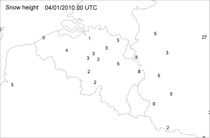
Snow height (in cm) from the official meteo stations based on some synops
taken from different hours.
|
 |
|
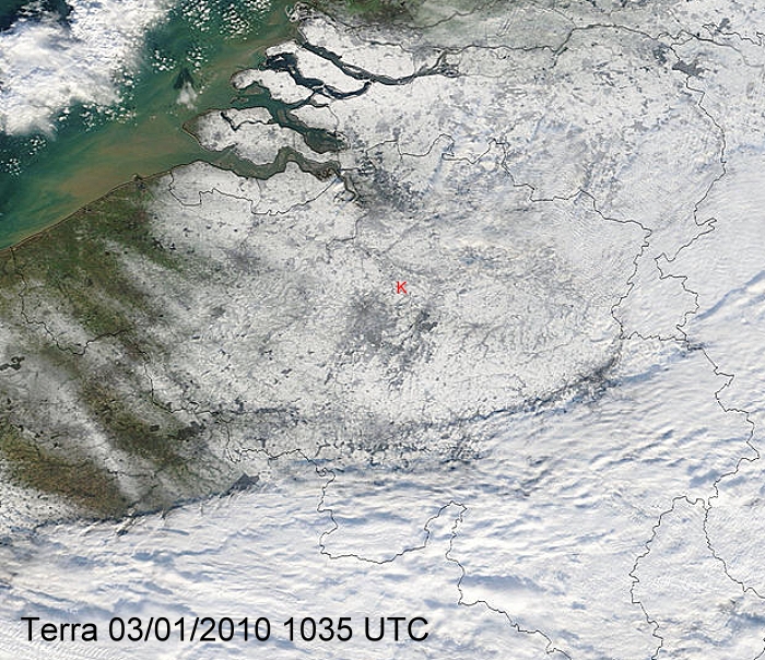
Remote sense satellite Terra with a view in the visible channel of the
snow in
Belgium. Over the Ardennes still some cloudiness present. Clear
indication that West-Flanders had hardly a snow cover, this due to the
smaller amounts of precipitation and also slightly milder air due to the
rather strong winds blowing from the Northsea. Pics below were taken
from location red "K". (Source: Image courtesy of MODIS Rapid
Response Project at NASA/GSFC)
|
 |
|
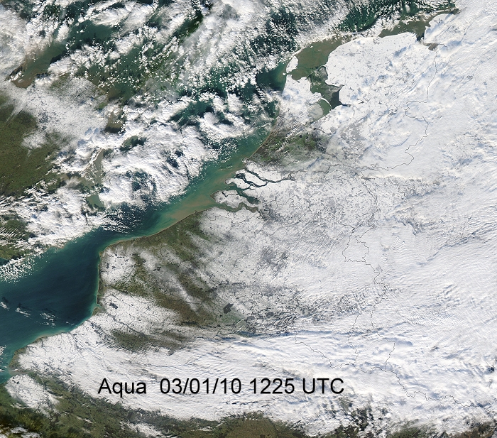
Remote sense satellite Aqua with a wider view in the visible channel.
The Low Countries well covered by snow except some parts in the
west. Over the North Sea still some Cb's present which moved towards the
U.K. (Source: Image courtesy of MODIS Rapid
Response Project at NASA/GSFC)
|
 |
|
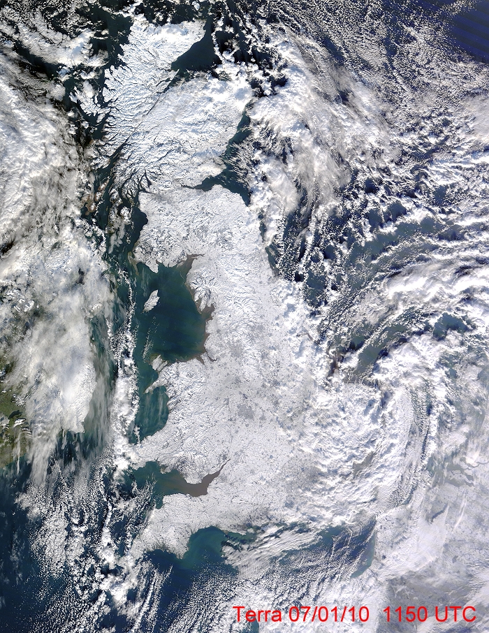
Remote sense satellite Terra with a view in the visible channel over the
U.K. on January 7 after more showers produced a deposit
resulting in the rare event that the entire Island was covered by snow. (Source: Image courtesy of MODIS Rapid
Response Project at NASA/GSFC)
|
 |
|
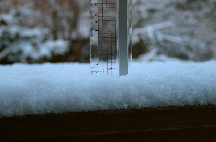
03/01/2010 0829. Taken in the early morning: proof of 3 cm of snow.
|
 |
|
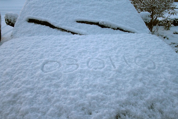
03/01/2010 0833. Proof of the date: first snow of the new decade.
|
 |
|
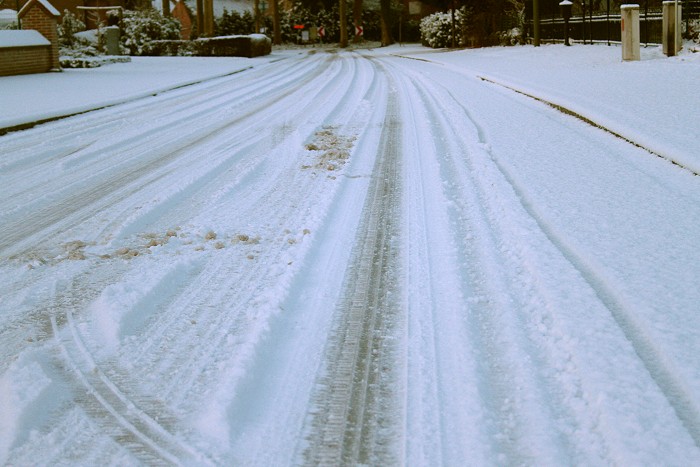
03/01/2010 0835. The roads under a thin cover of snow.
|
 |
|
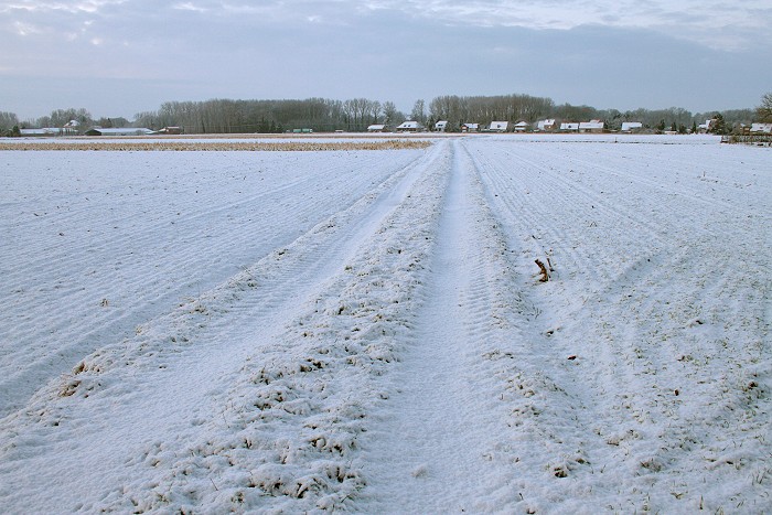
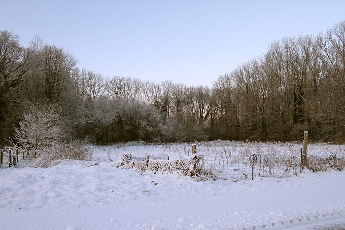
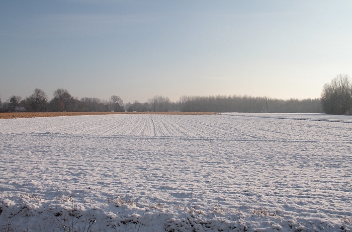
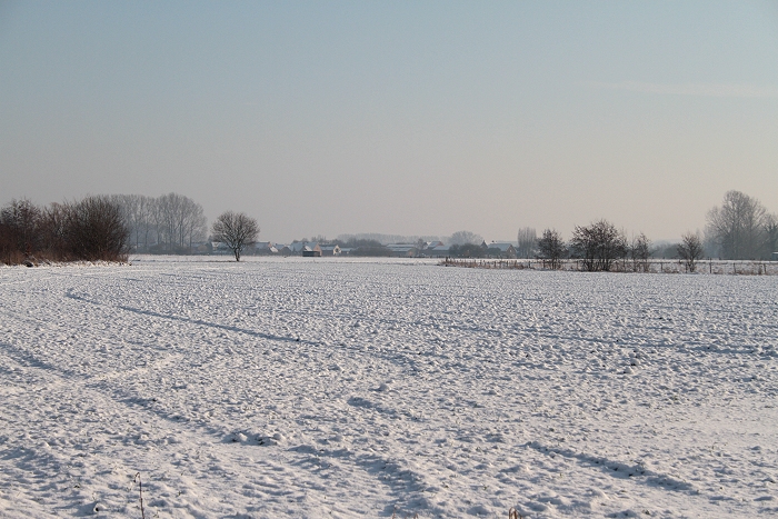
03/01/2010 0844 SW. View into the fields.
|
 |
|
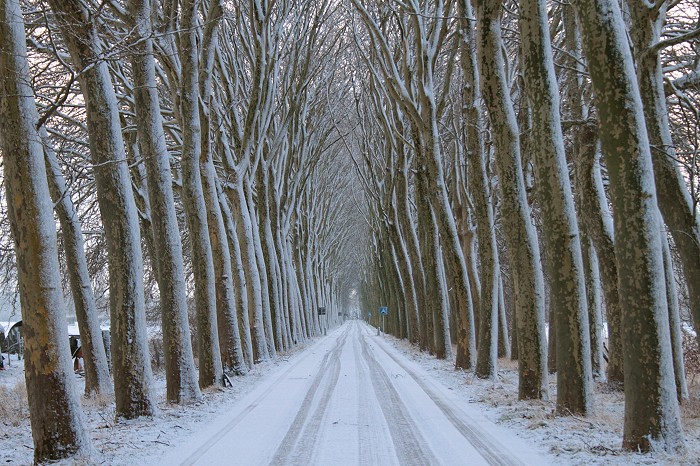
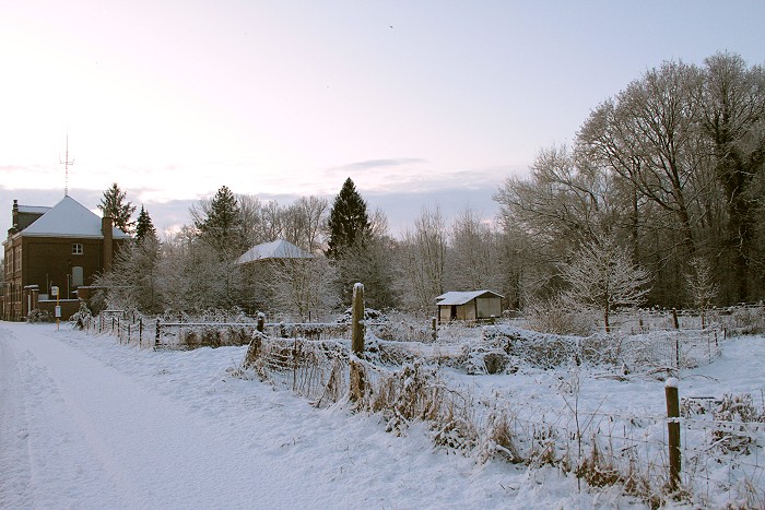
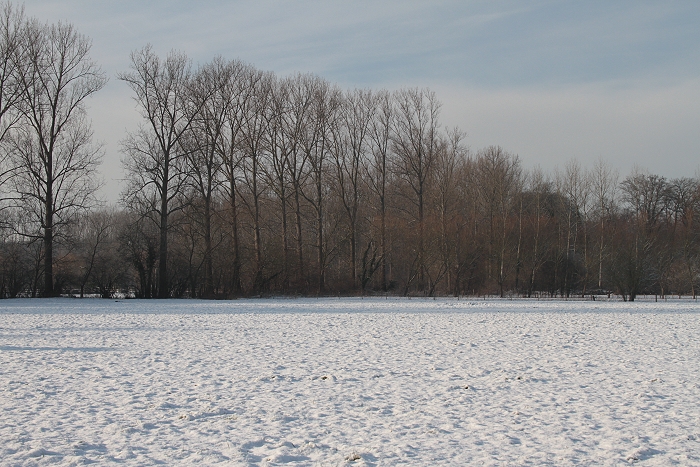
03/01/2010 0847 NE. Couple timeless views of "Den Dreef".
|
 |
|
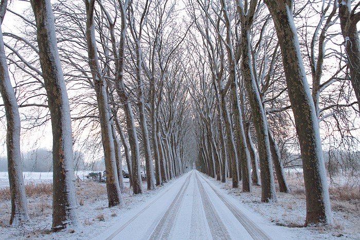
03/01/2010 0848 NE.
|
 |
|
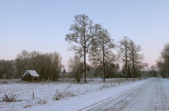
03/01/2010 0858 W. Trio postcard views of the snow.
|
 |
|
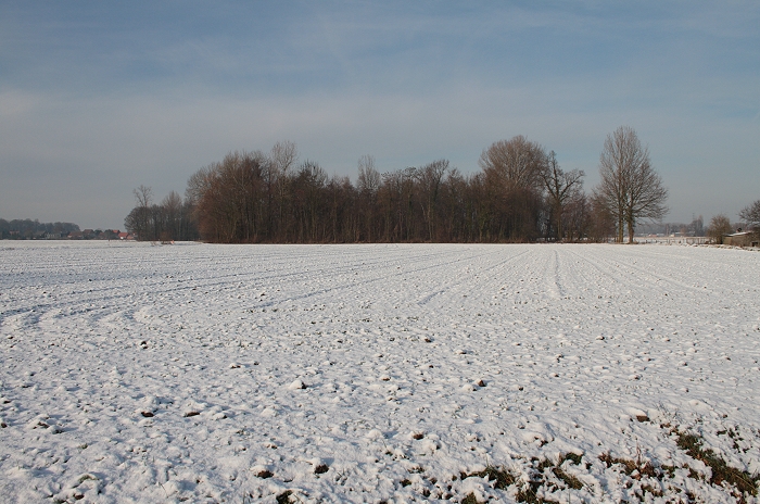
03/01/2010 0859 S.
|
 |
|
03/01/2010 0905 NE.
|
 |
|
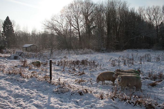
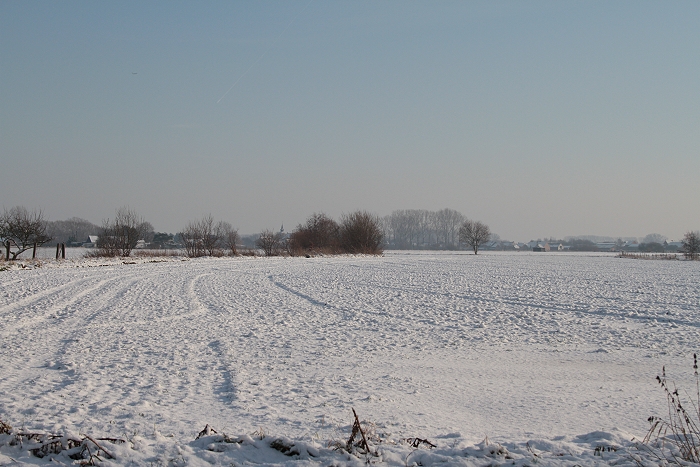
05/01/2010 1330 SW. Couple days later opportunity was taken to make some
sunny pics.
|
 |
|
05/01/2010 1339 SE.
|
 |
|
05/01/2010 1342 NW.
|
 |
|
05/01/2010 1348 WNW.
|
 |
|
05/01/2010 1350 SE.
|
 |
|
05/01/2010 1350 SSE.
|