| Weather pictures & report of August 20 2009 |
| Multi-cell thunderstorms (squall line) along prefrontal trough-line. |
| Synopsis: at 500 hPa an approaching relaxing upper trough from the west. Ahead advection of very warm air over the continent, becoming potentially unstable. A thermal trough passed Belgium in the afternoon, but remained inactive due to a strong inversion in the lower levels. When this inversion was cleared, just ahead the cold front, a trough-line developed to a long north-south orientated squall line which crossed mid and eastern Belgium late afternoon and evening. Lightning rate was quite high, but no severe features did occur. All pictures were taken at Kampenhout (central Belgium), hours in local time (CET). |
 |
|
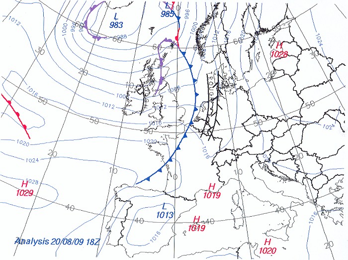
Surface analysis of August 20 at 2000 CET. Cold front near Belgian coast,
ahead a trough-line over mid to eastern Benelux, and ahead a relative
inactive thermal trough over western Germany, all moving eastwards. (Source chart:
Belgocontrol)
|
 |
|
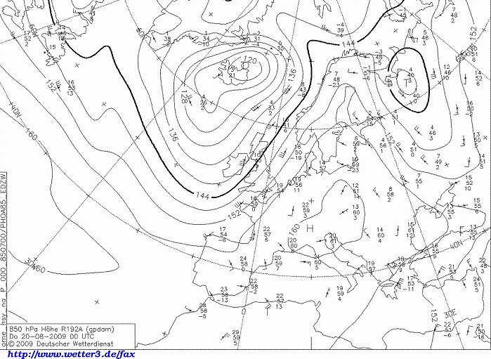
Upper air analysis 850 hPa of August 20 at 0200 CET. During the previous
night a so called Spanish plume was advected into the Benelux, with
temperatures up to 21°C. (Source chart: DWD via wetter3)
|
 |
|
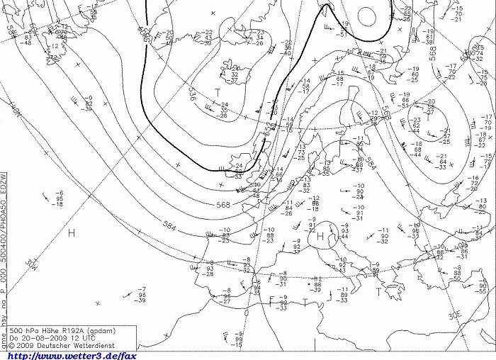
Upper air analysis 500 hPa of August 20 at 1400 CET. Upper trough west
of the British Isles. Western Europe in warm air, gradually cooled in a strengthening
gradient. (Source chart: DWD via wetter3)
|
|
Loop of forecasted soundings for Brussels of August 20 between 1200-2000 CET.
On passage of thermal trough, which happened around 1630 CET, a remarkable
inversion was present between 850-800 hPa. Above this level air was deep unstable,
but starting from 500 hPa also relative dry. No showers did form
over Belgium, a couple did over Holland but collapsed rather quickly.
From 1830 CET onwards the inversion around 850 hPa was more or less
cleared, so development of shower would be much easier. Air in the boundary
layer was
already a bit cooled by the westerly winds, suppressing the exchange of
quite strong upper winds of 40 kt or more to the surface. So, no severe gusts were measured in Benelux area.
At that time, wind
direction in the entire layer was more or less uni-directional, so line
convection would be likely. On the field, showers indeed did form and
they evolved into a very long squall line persisting for more than 6 hours. (Source:
RASP)
|
20/08/2009 1800-2000 CET. Satellite loop in the visible channel. Exploding squall line with a length exceeding 600 km. (Source sat picture: Eumetsat via Sat24.com)
|
Radar loop between 1630-2200 CET. Tops of showers went up to around 15 km. No pink colors, hence no large hail did occur, but intense rain. (Source radar picture: Belgocontrol)
|
 |
|
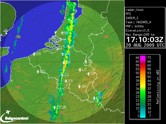
20/08/2009. Radar picture of 1910 CET. Another view on the length of the squall line, diameter of
radar circle = 490 km. (Source: Belgocontrol)
|
 |
|
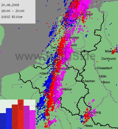
20/08/2009. Lightning sequence between 1800-2000. (Source: blids)
|
Some metars (hours in UTC) of Brussels Airport (EBBR) showing the remarkable wind shift between 1420-1450 with, besides a drop in temperature, no significant weather changes.
EBBR 200920Z 18009KT 140V220 CAVOK 30/18 Q1014 NOSIG |
 |
|
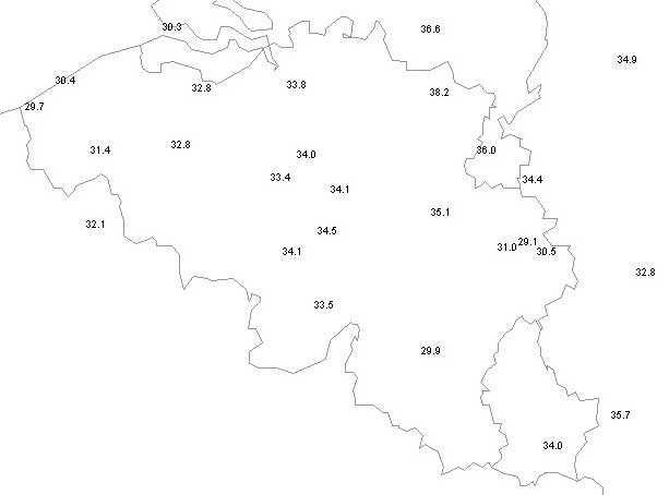
20/08/2009. Tmax (in °C). Values were quite high for the season even the
hottest day of the entire Summer
|
 |
|
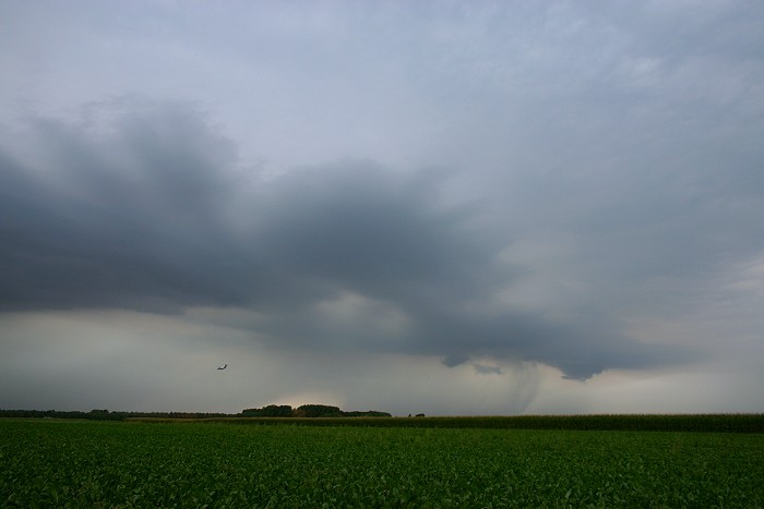
20/08/2009 1807 NW. Precipitation stripes.
|
|
20/08/2009 1808-1815 W-WNW. Events of 7 minutes shortened to this time
lapse of 7 seconds. The squall line consisted at the beginning of
separated cells, each with briefly a small shelf cloud. Wind was quite
gusty, at the end of this lapse, the first large rain drops came down.
|
 |
|
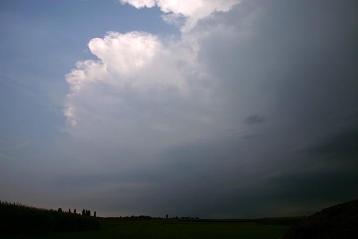
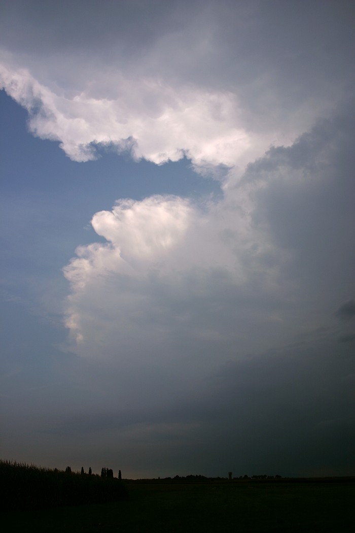
20/08/2009 1807 SSW. Other side, Cb anvils of more cells.
|
 |
|
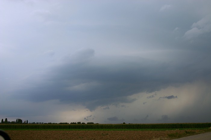
20/08/2009 1822 SSW.
|
 |
|
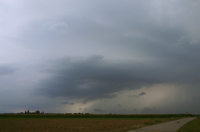
20/08/2009 1827 SW. Another cell is approaching with formation of a
shelf cloud.
|
 |
|
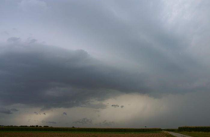
20/08/2009 1828 SW. One minute later, a wider view.
|
 |
|
20/08/2009 1829 SW.
|
 |
|
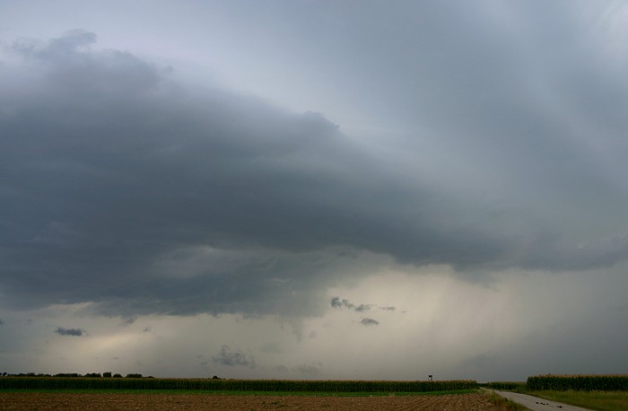
20/08/2009 1830 SW.
|
 |
|
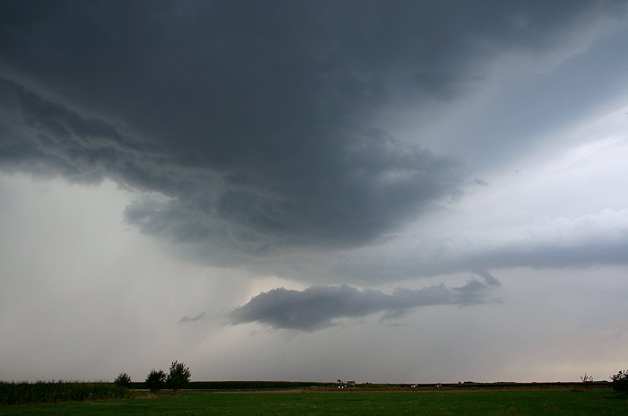
20/08/2009 1834 WNW. Shelf passing the area with behind whales mouth.
|
 |
|
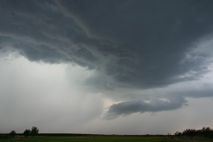
20/08/2009 1835 NW.
|
 |
|
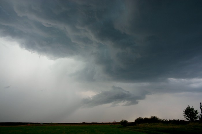
20/08/2009 1837 NW.
|
 |
|
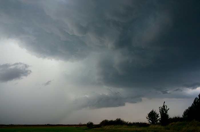
20/08/2009 1838 NNW. A quite heavy rain shaft, which entered the area a
couple of minutes later.
|