| Weather pictures & report of June 14 2007 |
| Multi-cell thunderstorms along thermal trough line |
| Synopsis: advection of potentially unstable air from SSW. During the day, far ahead of cold front, several thermal trough lines passed over our area which enhanced shower and thunder activity. During late afternoon, one of these lines passed the central parts of Belgium. At my location, a trailing shower gave a whale's mouth effect, which remained stationary for more than half an hour. All pics taken at Kampenhout in local time (CET). |
|
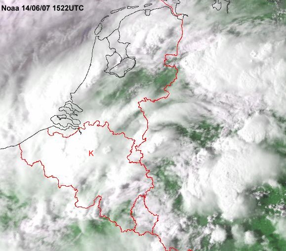
Satellite picture (visual) of 14/06/2007 taken at 1722 CET. Multi-cell thunderstorms over central and northwestern parts of Belgium. My location from which I took pictures is at the red "K". (Source satpicture: NOAA and DLR)
|
Radar sequence between 1600-1830 CET. My location was near "BR". Multi-cell thunderstorm moving NNE with speed of 15-20KT and precipitation tops up to 10 km. Furthermore two isolated storms did splitt at more or less the same location, namely over northeastern parts province of Vlaams-Brabant. The first one can be seen as a pair over province of Antwerp, bit later a second weaker one can be recognized. In both cases, the left mover was dominant, but none of these storms evolved to supercells.(Source radar picture: Belgocontrol)
|
|
|
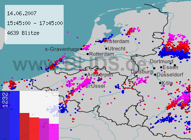
14/06/2007 1545-1745 CET. Lightning sequence of a two hour period. The thunderstorm with lightning trail between Hainaut & Brabant is near location "Brussel" covered with pictures below. Source picture: Blids.
|
|
|
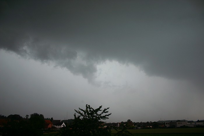
14/06/2007 1713 NW. When this shot was made, the thunderstorm was rumbling for more than half an hour at a location around 5km northwest of me and seemed to remain stationary. But after a while, part of the rain shaft began to move towards my direction. Cloudiness was at first not very interesting: this shot gives an idea what was going on. Winds began to pick up and veered from a northeasterly to a westerly direction.
|
|
|
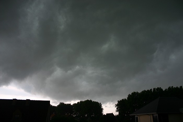
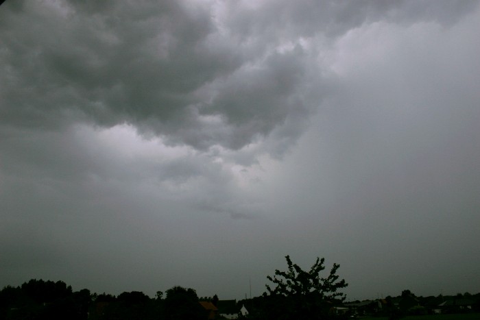
14/06/2007 1717 SSE. Little later, when precipitation fell and lightning was quite close, the cloudiness "began to boil" overhead. Gradually, this turbulent area started to move a bit towards the south. This shot gives an impression of the dark skies.
|
|
14/06/2007 1727-1755 SSE. A still image can't describe the turbulence that was going on but a time-lapse does. This 28 minute motion picture of boiling cloudiness and shaking trees was captured in a time-lapse of 23 seconds. Flight path of runway 25R is in the middle of the picture and some pilots decided to make even an overshoot. Weather at that time was: a weak/moderate thunderstorm with blustery winds of 35KT accompanied by rain which was sometimes moderate to heavy in intensity. No hail was detected, but a few km more to the northwest, stones with diameter of around 1 cm were observed.
|
 |
|
14/06/2007 1748 NW.
A while later, on the other side, the rain shaft was still present and
did clear very slowly the area. No wonder that the village of Hever (Boortmeerbeek)
suffered from flash flooding (view is towards that direction). At my
location 18 mm was collected between 1645-1915.
|