| Weather pictures & report of February 6 2007 |
| Snow related to waving frontal system. |
| Synopsis: advection of cool polar maritime air from NW. A waving frontal system over northern France shifted ENE, and the collision with this cool air and some milder air activated this front. With temperatures dropping just above the freezing point, it gave during late afternoon and evening a couple of hours moderate falls of snow, some flakes had dimensions of a couple of cm. Mainly affected were western, central and southern parts of Belgium giving a cover up to a couple of cm, over my area 2 cm was accumulated. All pics taken at Kampenhout in local time (CET). |
Radar sequence between 1900-2050 CET. My location was near "BR". Check also the directional shear of the precipitation belt: in lower levels air comes from NNW, in upper levels airflow is WSW'ly. (Source radar picture: Belgocontrol)
|
|
|
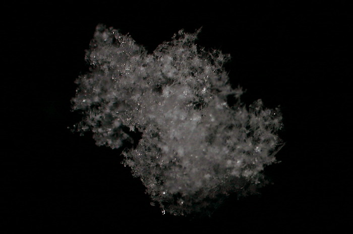
06/02/2007 1848. Captured in the air by flashlight, this magnified snow flake had a diameter of a couple of cm.
|
|
|
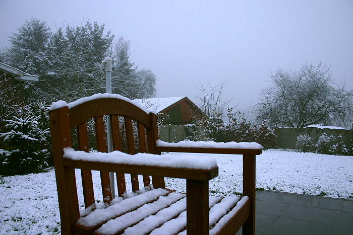
07/02/2007 0809. The results lasted till next morning: cover of a couple of cm.
|
 |
|
07/02/2007 0810. During previous night also formation of freezing fog,
during the day snow melted for 90 % away.
|