| Weather pictures & report of August 19 2006 |
| Multi-cell thunderstorms in deep unstable air. |
| Synopsis: advection of potentially deep unstable air from SSW. With diurnal heating multi-cell thunderstorms developed over entire Belgium, some of them severe with high lightning rate and hailstones of up to 2 cm. All pics taken at Kampenhout in local time (CET). |
|
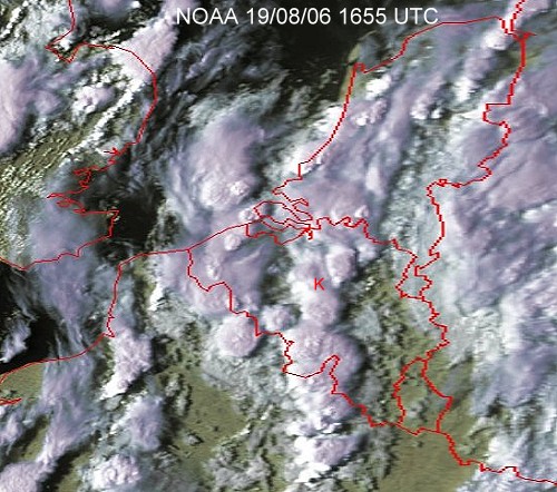
Satellite picture at 1855 CET. Multi-cell thunderstorms over Belgium. My location was at the red "K". (Source satpicture: NOAA and University of Bern)
|
Radar sequence between 1700-1850 CET. My location is near "BR". Precipitation tops went up to 10 km. (Source radar picture: Belgocontrol)
|
|
|
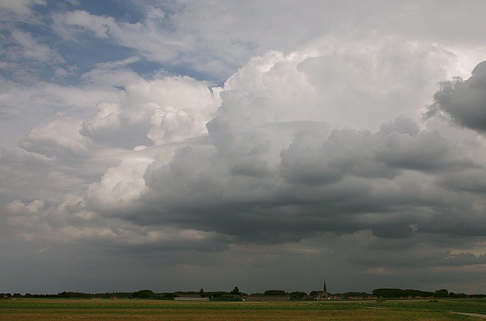
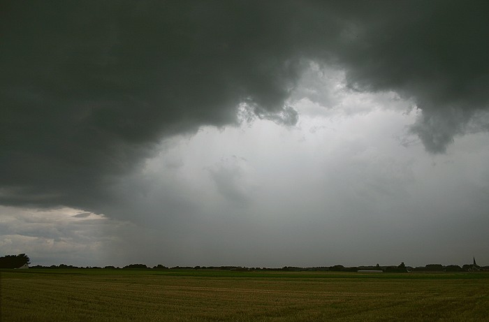
19/08/2006 1611 E. First signs of unstable character: Cumulus congestus velum.
|
 |
|
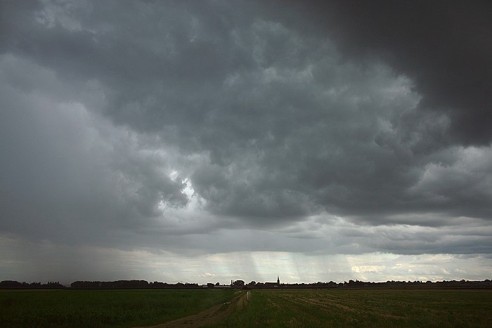
19/08/2006 1804 S. Precipitation trails of a developing thunderstorm,
moving NNE (towards the left on the picture).
|
|
|
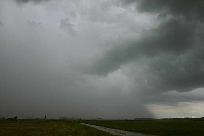
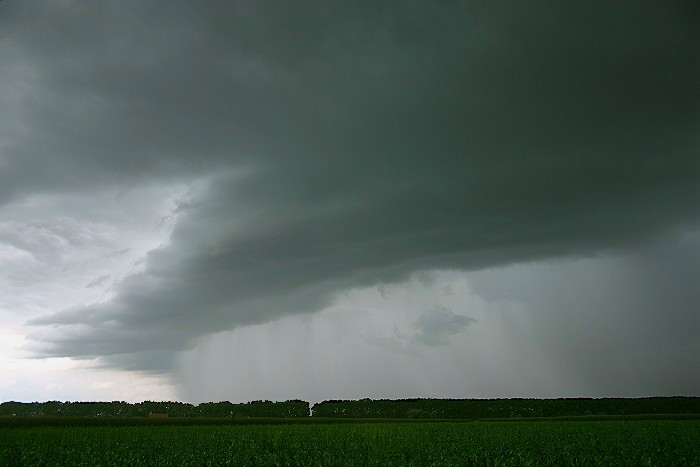
19/08/2006 1812 ESE. Bit later, the same shower, now with a very strong rain shaft.
|
 |
|
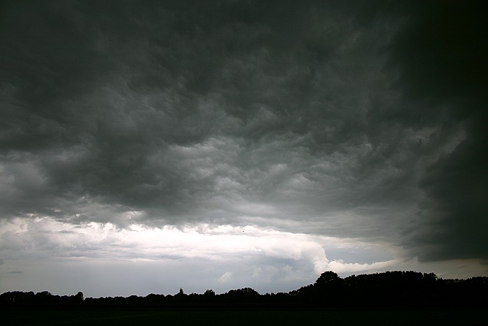
19/08/2006 1808 ENE. Thunderstorm is moving away with some
turbulent clouds on its back.
|
|
|
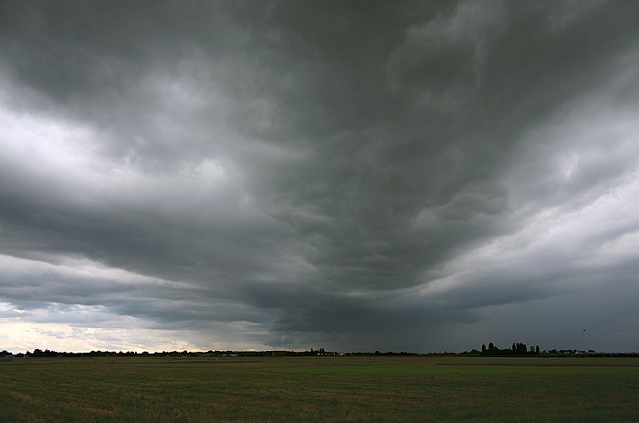
19/08/2006 1833 NNE. The turbulence of the cloud layer is also quite obvious in this shot.
|
 |
|
19/08/2006 1834 NNE. A bit later a weak shelf was to be found on the back of this
evacuating cell.
|
|
|
19/08/2006 1814 SW. On the same moment, a second thunderstorm came in.
|
|
19/08/2006 1823-1825 SSW. A five minute time lapse, compressed in 8 seconds (15 frames /sec), of the approaching thunderstorm. When a CG stroke ended up 1 km in front of my camera (not captured) the making of this film was terminated.
|