| Weather pictures & report of February/March 28/01 2006 |
| Snow showers in unstable polar maritime air. |
| Synopsis: steering feature was a low of 989 hPa over the North Sea sending polar maritime air over the Low Countries. With T850 hPa -8°C, most showers were of snow and sometimes moderate to heavy in intensity. During the night showers lined up in the airflow and some locations in Belgium received up to 10 cm. Photos taken at Kampenhout in Central European Time (CET). |
|
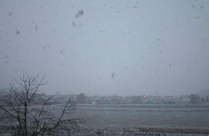
28/02/2006 1457. A first moderate to heavy snow shower arrived late afternoon turning the world briefly white with a cover of 0,5 cm.
|
|
|
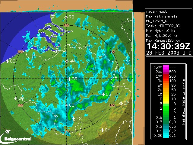
Radar picture at 1530 CET showing a lot of wintry and snow showers.
|
|
|
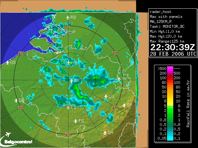
Radar picture at 2330 CET with continues showers spreading SE-wards. At that moment 1 cm of fresh snow was observed in my garden. (Both pictures: Belgocontrol)
|
 |
|
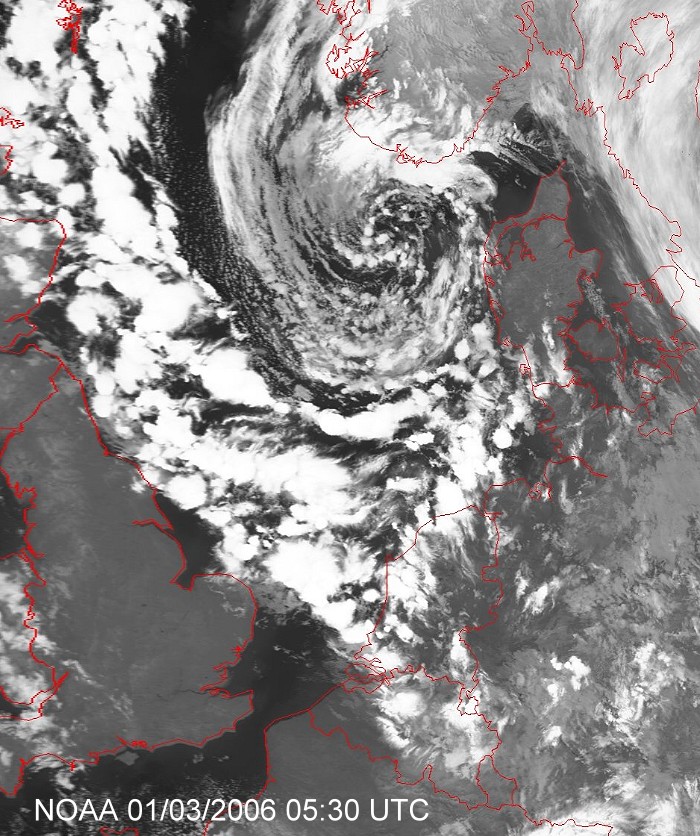
Satellite picture at 0630 CET showing the active showers around the
vortex, at that
moment a last heavy shower fell over my area. (Source: NOAA
& University of Bern)
|
|
|
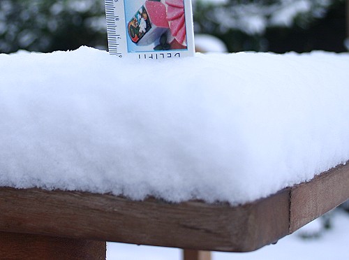
01/03/2006 0845. Prove of 6 cm of snow, the largest amount of winter
2005/2006.
|
 |
|
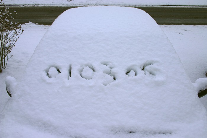
01//03/2006 0853. Prove of the date: a lot of snow in March is quite rare.
|
 |
|
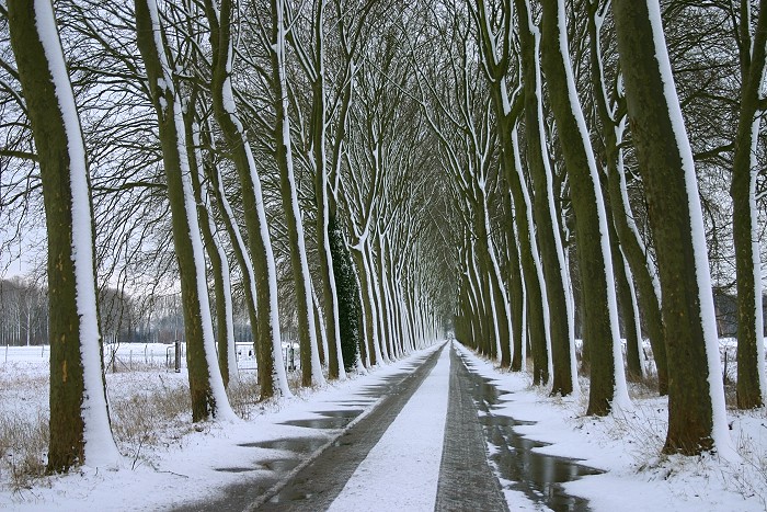
01/03/2006 0901. Horizontal & vertical snow.
|
|
|
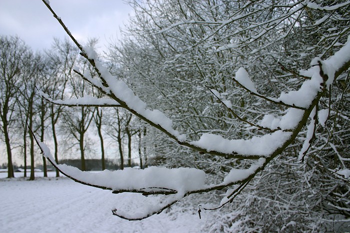
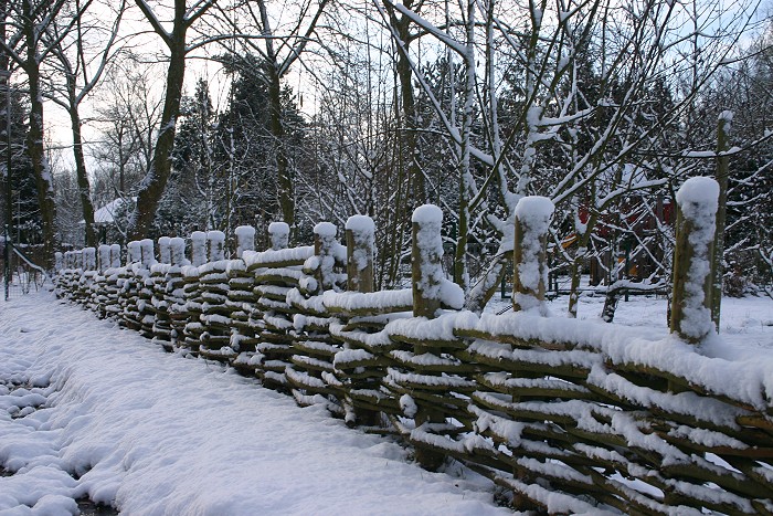
01/03/2006 0908. Snow on the trees.
|
 |
|
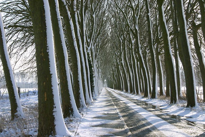
01//03/2006 0940.
|
 |
|
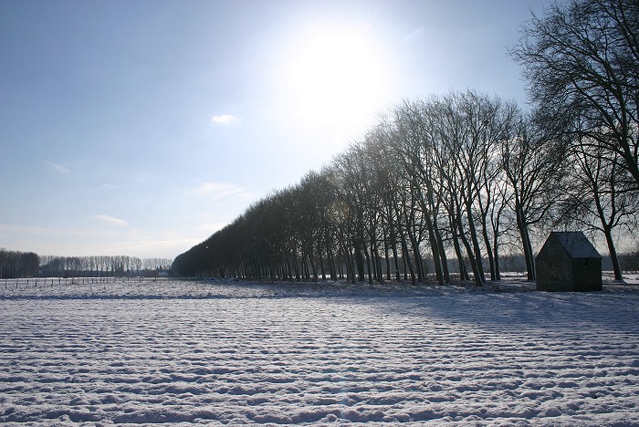
01/03/2006 1000. The Sun came out, giving more opportunities to make nice pictures.
|
|
|
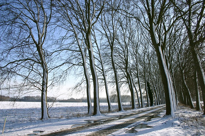
01/03/2006 1003. Opposite light with snow on the field.
|
 |
|
01//03/2006 1008. More snow on the trees.
|
 |
|
01/03/2006 1008. A final picture with chapel "Matri
Misericordiae" in the center which was build in 1652.
|