| Weather pictures & report of November 25-26 2005 |
| Snow related to backbent occlusion of deep stationary low over the Netherlands. |
| Synopsis: a deep low of 978 hPa over the Netherlands filled with very cold air (at 500 hPa -38°C) steered slowly an occlusion from NW to SE during the evening, night and morning of November 25-26. Especially ahead of the occlusion some blustery winds of more than 40KT were observed giving inland locally and temporary almost blizzard conditions. The dry bulb temperature stayed just positive, but with wet bulb temperature around zero degrees the light to moderate falls of snow were packed together on both horizontal & vertical objects giving a lot of weight. Locally between 5-15 cm of wet snow was accumulated giving damaging effects on trees, greenhouses and even a power pylon did collapse. Over my area an amount of 4 to 5cm was observed. All pics taken at Steenokkerzeel in CET time the day after on November 26. |
|
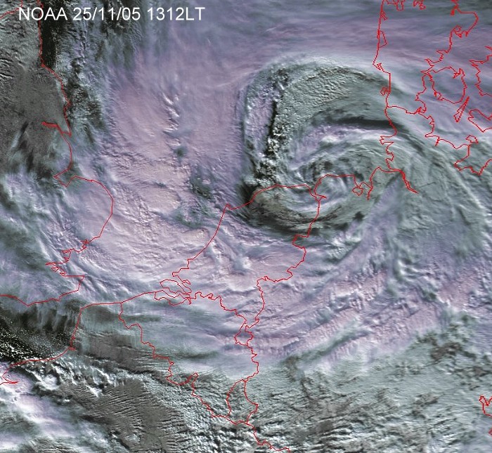
Satellite picture at 1312 CET showing the vortex over the north of Holland with wrapped around the occlusion. At that moment it gave some severe winter weather over the mid Netherlands with snow amounts of up to 15 cm, meanwhile Belgium remained during the day mostly precipitation free. The frontal system slowly moved SE wards during evening and night. (Source: NOAA & University of Bern)
|
|
|
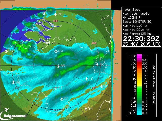
Radar picture at 2330 CET showing the wintry precipitation associated
with the occlusion. The green echos correspondent with moderate falls of
precipitation which gave inland blizzard conditions. (Source: Belgocontrol)
|
|
|
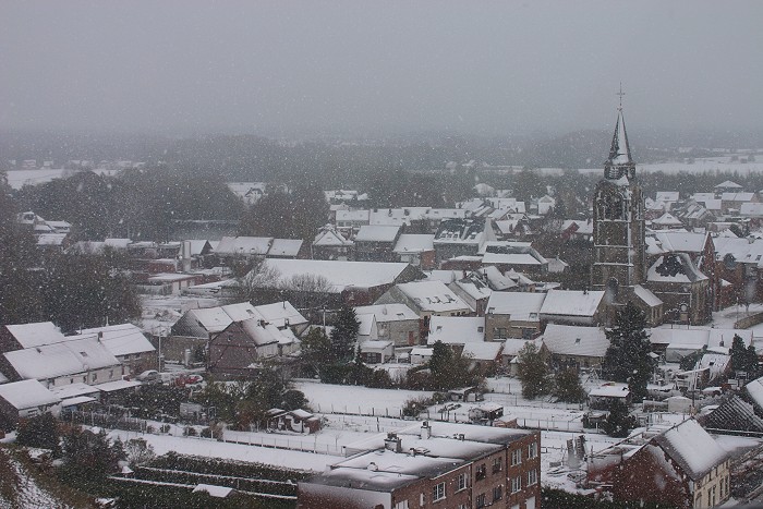
26/11/2005 1003. In the postfrontal air a last shower of snow fell over the village of Steenokkerzeel.
|
 |
|
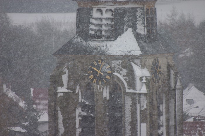
26/11/2005 1005. A detail on the tower of the church with vertical snow
accumulation.
|
|
|
26/11/2005 1008. Some minor breaks came in from the W, but the remainder
of the day was Stratus overcast.
|
 |
|
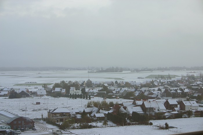
26//11/2005 1013. A view over Humelgem, part of Steenokkerzeel.
|
 |
|
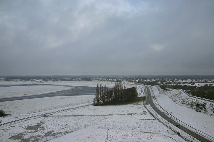
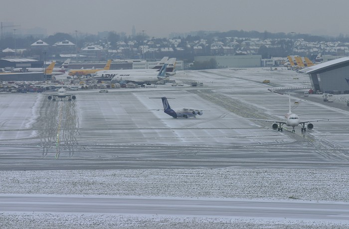
26/11/2005 1025. The airport self encountered some delays due to runway
restrictions on visibility and overwork of the de-icing team, but
towards noon all problems were solved.
|