| Weather pictures & report of February 24 2005 |
| Light snow related to shallow low. |
| Synopsis: advection of continental air from the ENE. T850 hPa was -10°C, T700 hPa was -18°C, T500 hPa was -34°C. During the night a shallow low passed the Low Countries producing continuous light falls of snow on which visibility was reduced to minimal 2000 meter. Photos taken at Kampenhout in Central European Time (CET). |
|
|
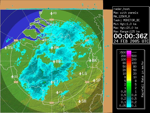
Radar picture of 01:00 CET showing the light intensity of precipitation.
This blue zone hardly moved producing light snow grains and flurries
for about 18 hours. (Source: Belgocontrol)
|
 |
|
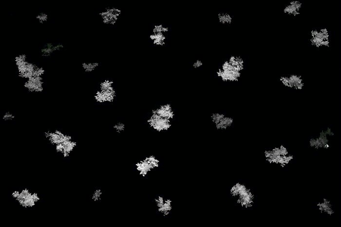
Between 03:00-05:00. Composition of several night shots of the falling snow flurries.
|
 |
|
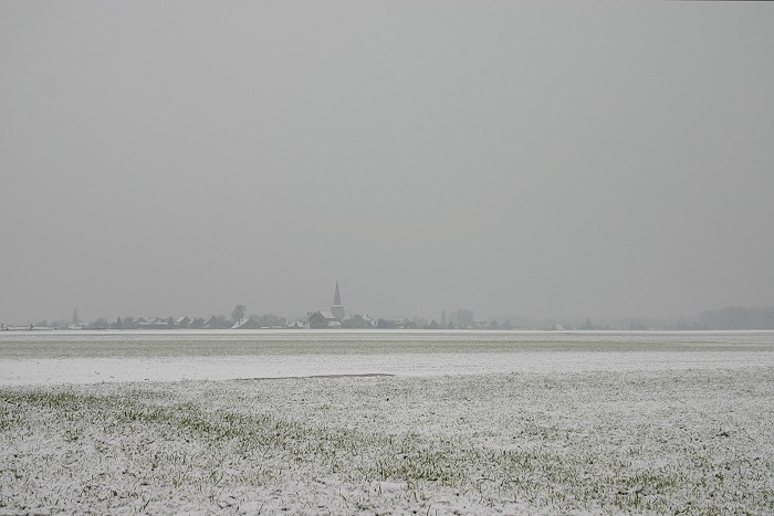
09:21 NE. Misty view on the Saint-Stefanus church in a wintry landscape with a cover between 1-2 cm.
|
 |
|
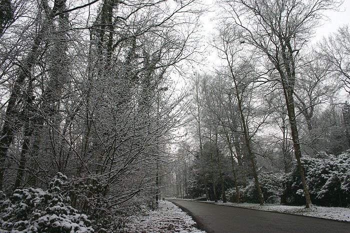
09:49. Due to lack of wind, the trees were nicely covered by the snow.
|
 |
|
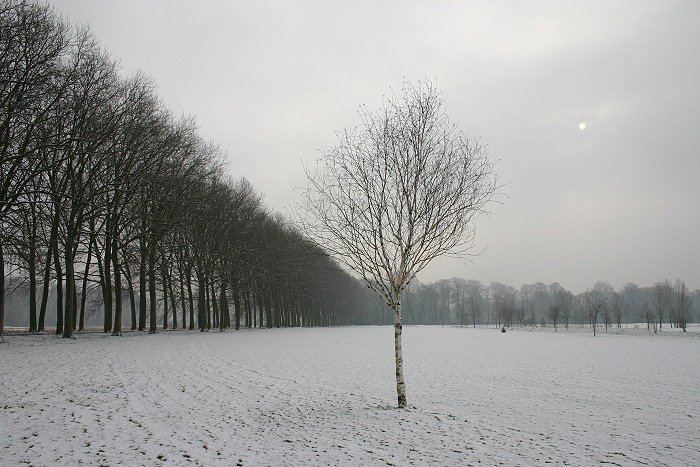
09:58 ESE. First attempts of the sun breaking through, a bit later with negative effect on the snow.
|
 |
|
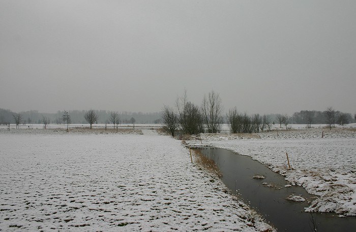
10:01 S. There was hardly any ice as previous night temperatures
stayed around freezing point. A couple of hours later the white
landscape was history.
|
Back to winter weather reports