| Weather pictures & report of February 21 2005 |
| Snow and snow showers related to a small low. |
| Synopsis: advection of unstable polar maritime air from the NE. A small low of 1007 hPa crossed Belgium. It was filled with cold air: T 850 hPa was -8°C, T 500 hPa was -40°C. It produced in the morning moderate falls of snow on which visibility was reduced to 800 meter, followed by very light snow showers. Photos taken at Kampenhout in Central European Time (CET). |
 |
|
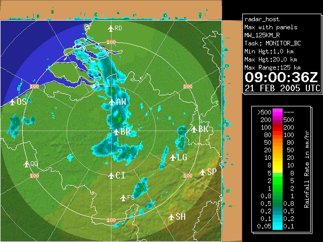
Radar picture of 10:00 CET, showing a relative small area of snow. It crossed slowly from NE to SW. (Source: Belgocontrol)
|
|
|
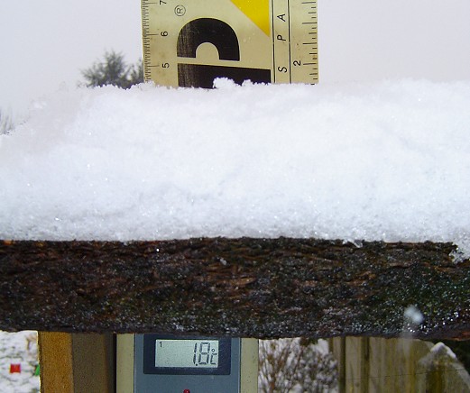
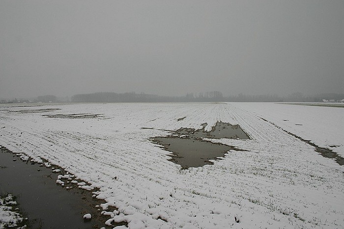
12:01. A coat of 4 cm was formed within 2 hours and is proved by this shot. Note also the positive temperatures.
|
 |
|
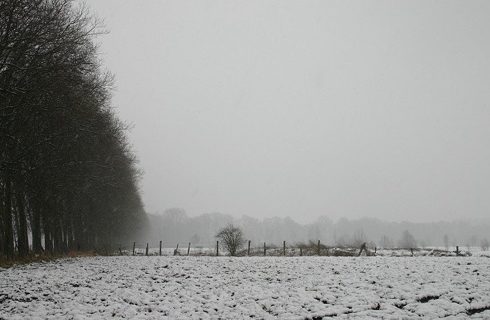
12:04 E. Visibility reduced by the falls of light snow. Moderate falls did start around 0900 CET, lasting till 1100CET.
|
 |
|
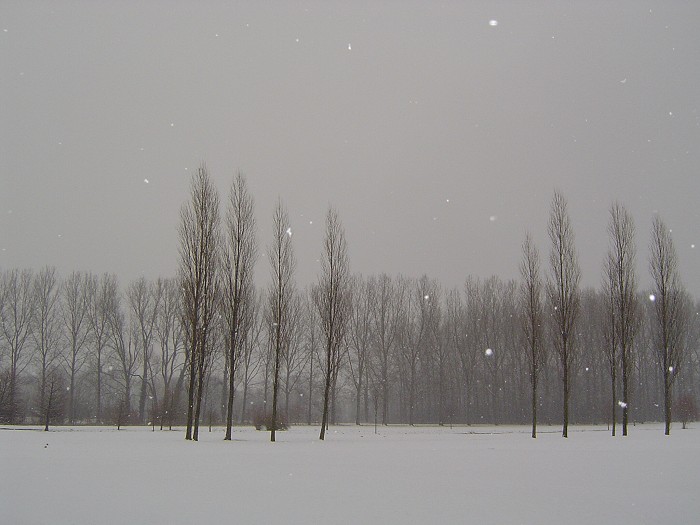
12:17 NE. Falling snowflakes catched by flashlight.
|
 |
|
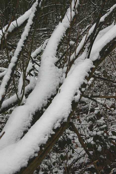
12:29. A walk in the forest.
|
 |
|
12:43 NE. Quite wet conditions with the slightly positive temperatures.
|
 |
|
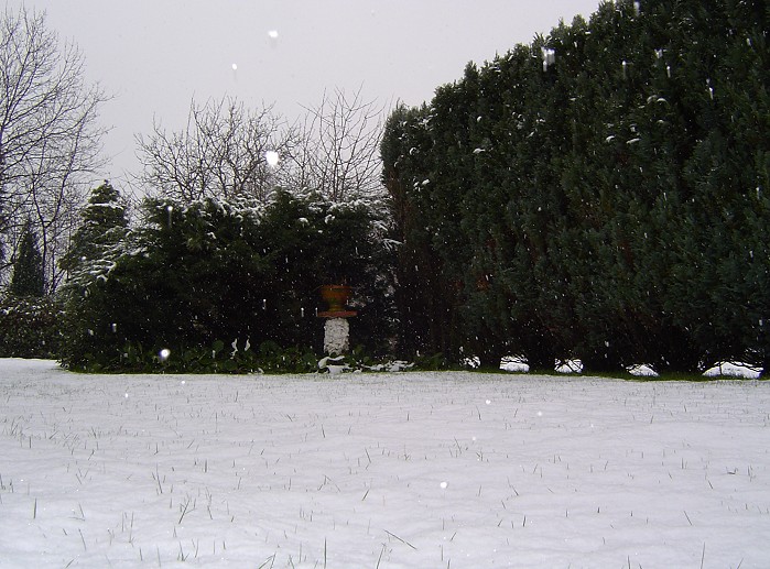
12:48. Wintry scenery in my garden.
|
 |
|
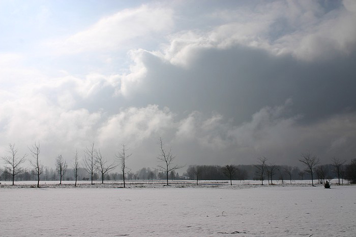
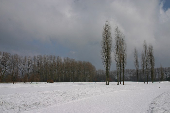
13:48 S. When the sun came out, I had to be fast to capture the white landscape, as temperature would spoil things rapidly. Note the very low Stratus fields in the back, typical when systems with snow are passing.
|
 |
|
13:53 NE. Cumuliform cloudiness, later producing a few flurries of snow.
|
 |
|
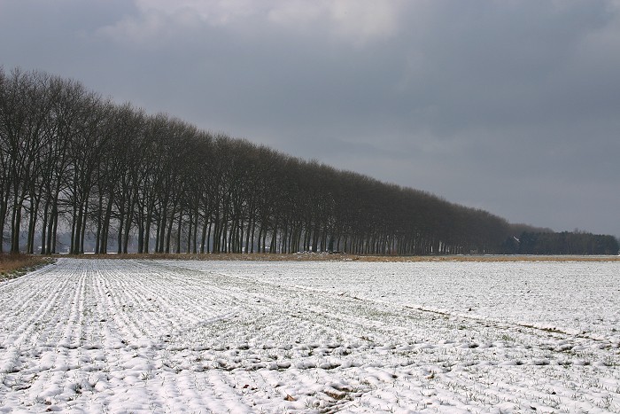
13:56 SW. Finally I did get my first real wintry landscape of the season.
|
Back to winter weather reports