| Weather pictures & report of February 20 2005 |
| Wintry showers. |
| Synopsis: advection of unstable polar maritime air from the N with T 850 hPa -6/-7°C, T 500 hPa -37/-38°C. Just after midnight a snow shower was produced leaving a partly cover, but during the day precipitation was rather rain and sleet with Tmax +5,6°. Photos taken at Kampenhout in Central European Time (CET). |
 |
|
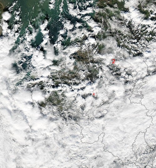
Satellite picture of Aqua taken around 13:30 CET. My position is at "K". Compare it with my picture taken at 14:04 CET. This was the shower just north of my position. The second line of showers was at that moment over southern parts of the Netherlands (at "2"). (Source: Image courtesy of MODIS Rapid Response Project at NASA/GSFC)
|
 |
|
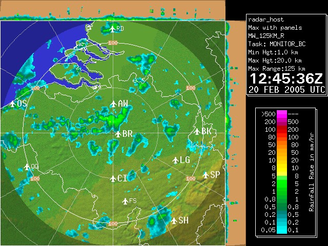
Corresponding radar image of 13:45 CET. The shower just north of my position at "BR" produced even a rumble of thunder. Tops went up to 6km. Check also with my photos taken at 1404 and 1425 CET. The second line of showers is noted as a "cluster" over S-Netherlands. (Source: Belgocontrol)
|
|
|
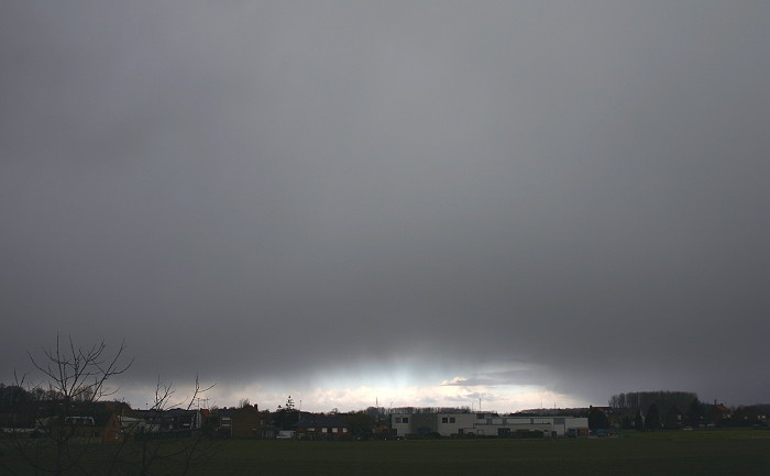
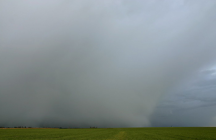
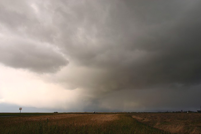
14:04 N. Pregnant sky with snow in the air. When reaching ground it was rather rain and sleet.
|
 |
|
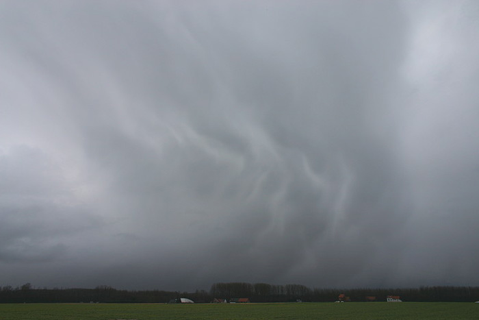
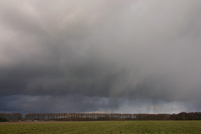
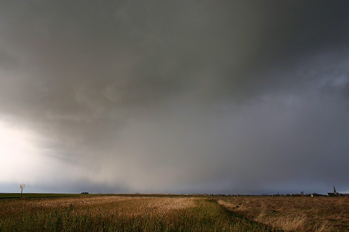
14:25 ENE. The shower had even a rumble of thunder on board. The back of it showed mamma alike structures.
|
 |
|
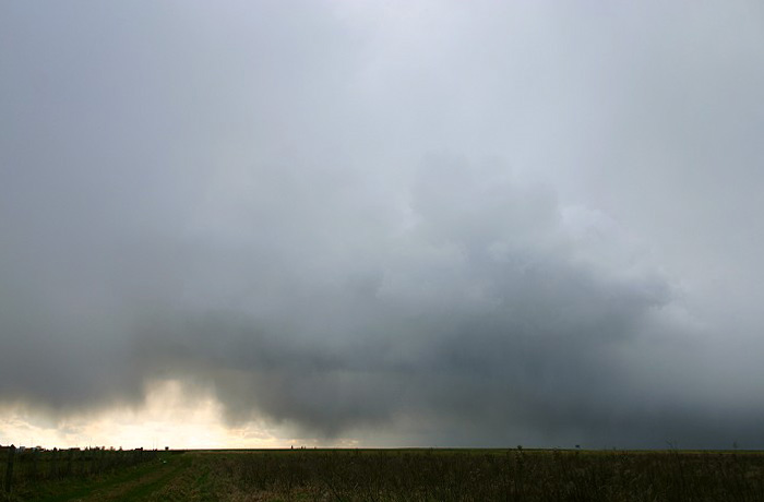
14:26 WSW. On the opposite side a burst of wintry precipitation (small
hail) was still falling.
|
 |
|
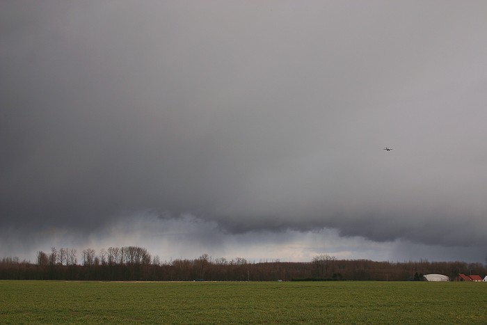
16:11 NE. Another shower with virga came in from north.
|
 |
|
16:15 ENE. Low cloudbase of the same shower.
|
 |
|
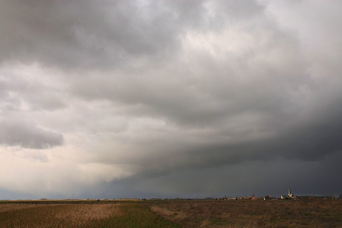
16:17 N. It was in fact a line of showers. With a N'ly airflow we wouldn't escape from it.
|
 |
|
16:22 N. A few moments later, skies were darkening.
|
 |
|
16:26 N. It was for a moment a very nice view. The shower self did produce only a few flurries of wet snow.
|
 |
|
16:38 WSW. Passage of the showery line with bursts of wintry
precipitation (mostly "graupel"), reaching or not reaching the
ground. A towering cumulus can be seen vaguely.
|
Back to winter weather reports