| Weather pictures & report of February 27 2004 |
| Comma cloud producing "huge" amounts of snow. |
| Synopsis: cold unstable NW'ly airflow with temperatures at 500hpa near -40°C, at 850hpa -9°C. During the early morning a mesoscale weather system "Comma" entered northern parts of Belgium. With slightly negative air temperatures, it produced locally some 20cm of snowfall in a couple hours. Needless to say the road traffic was totally jammed only improving towards noon when the temperature went positive. All pictures taken at Kampenhout in local time (CET). |
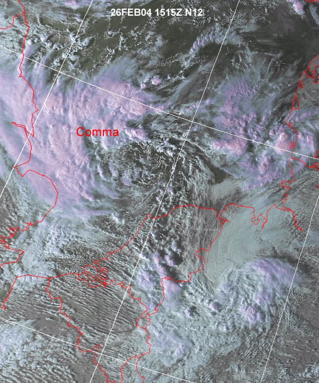 |
| Satellite picture on February 26 of 16:15 CET showing the
Comma over southern parts of the North Sea slowly shifting SE-wards
and reaching NW Belgium 12 hours later.
(Source: NOAA and Wokingham weather)
|
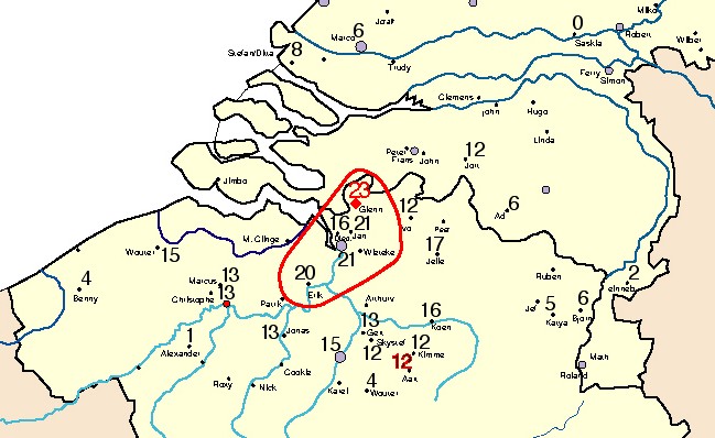 |
| Map of snowfall accumulation (in cm) on February 27
measured by the local weather enthusiasts: 12cm in my area. (Source:
Weerwoord-forum)
|
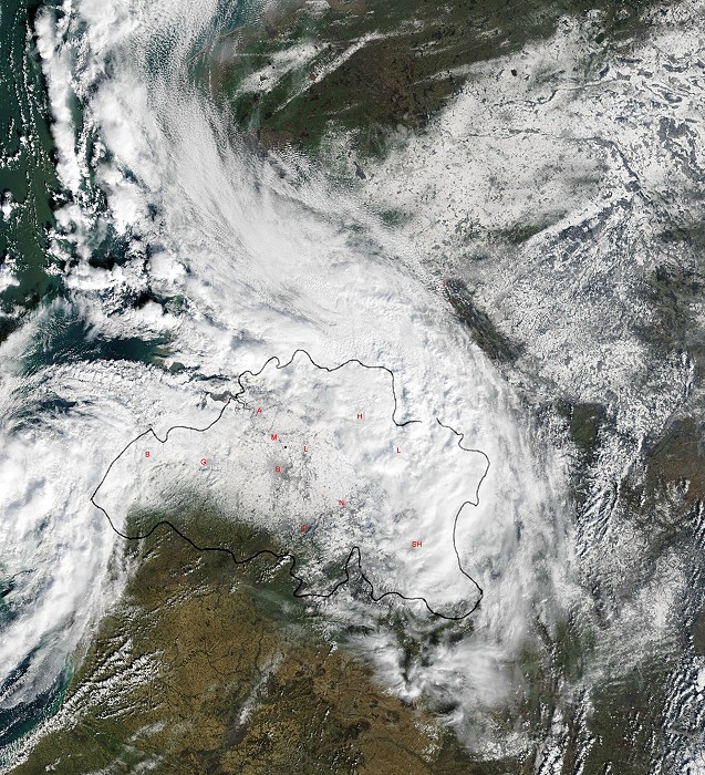 |
| Picture of satellite "Aqua" on February 27 at 11:45 CET
showing a white
covered area in mid Belgium. Some cloudiness is obscuring the surface in
NE and W parts. (Source: Image courtesy of MODIS Rapid Response
Project at NASA/GSFC)
|
| 09:58 N. In the back convective cloudiness clearing the
area giving a couple of hours bright sunshine. Unfortunately temperatures rised to +3°C in the afternoon, melting half of
the 12 cm snow layer.
|
| 10:00. Untouched snow on the steps.
|
| 10:03. One bicycle trail, probable the postman.
|
| 10:05 E. A beauty of a Cb capillatus incus, sadly
photographed without the sun.
|
| 10:42.
|
| 10:44. During the snowfall moderate SW'ly winds produced
a white wet cover of snow on the trees.
|
 |
| 12:43. Cumuliform cloudiness invaded during the
afternoon, producing a few flurries of wet snow towards sunset.
|
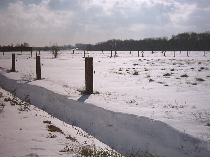 |
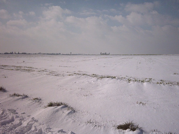
| 13:00. Sharp edges produced by the wind during the snowfall. |